- Home
- Rural Development
- Nature Trails
- Nature Trails
- Northwest Sector
- Santander-Mediterráneo
Santander-Mediterráneo Nature Trail. Valcorba (Soria)-Ciria section
Description

Soria, the river Duero and the fields of Gómara, inspiration for Bécquer and Machado.
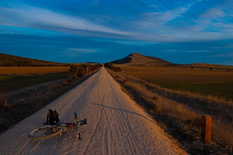
The railway bids farewell to the capital of Soria, the residence of muses for 80s pop-rock groups and great writers who, like the train, have travelled into the fields of Gómara. The traveller, protected by the Aleza and Costanazo mountain ranges, reaches Ciria at the foot of the Sierra de la Virgonia, finishing his tour of this province.
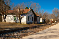
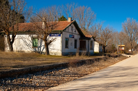
After leaving Soria, the section begins in the area known as Polígono de Valcorba, where after a brief four kilometre trip you reach the village of Martialay and its old station (siding), which has a rest area with everything you need to enjoy a break. The interpretative panel there provides detailed information about the most important points of this route, while another smaller panel offers details about the route for the cycle tourist, with a lot of interesting information that enables you to effectively plan and enjoy the journey.
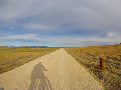
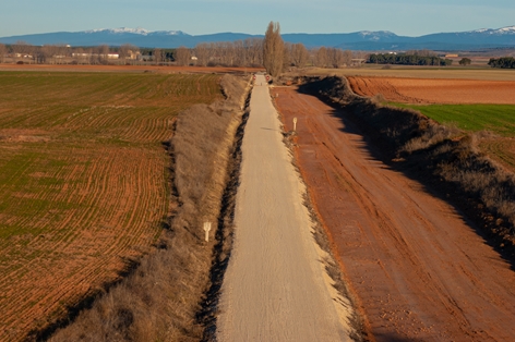
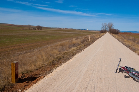
Continuing along the route, with the landscape dominated by wheat fields, the user passes near small towns on both sides of the path that can be seen at a short distance from the route, such as: Duáñez, Cubo de Hogueras, Carazuelo.... Shortly after passing the tenth kilometre of the route, we reach the old Candilichera station, now in ruins, which served as a siding during the times when the Santander - Mediterráneo railway was in use.
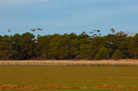
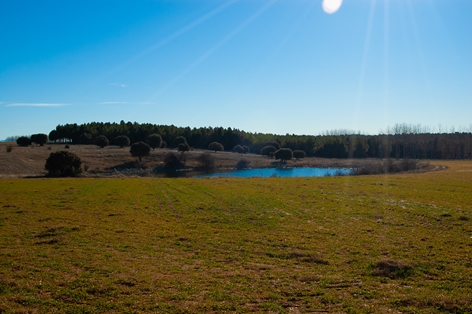
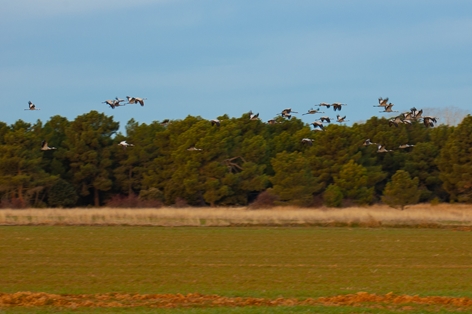
The user is now deep inside the Campos de Gómara, where small lagoons like the Honda, the Herrada, the Herrera and many others that make up the Campo de Gómara Lagoon Complex stand out in the farmland. In this enclave you can enjoy a great diversity of fauna, mainly birds, which use these lagoons as a stopover on their great migratory journeys, and where you can see huge flocks of cranes (Grus grus).
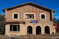
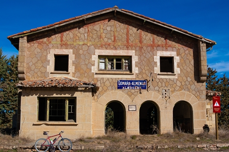
Continuing the railway journey, you reach the rest area of Cabrejas del Campo, very close to this village, and a few metres further on you see the old railway station. The journey continues, passing the monumental village of Almenar de Soria on the left, with its castle and the hermitage of the Virgen de la Llana. To the right of the route on a hill rises the hermitage of San Cristóbal in the nearby town of Aliud. In little or no time you reach the large cereal storage silos located next to kilometre point 20 and the old Gómara - Almenar - Albocabe station, which was very important in its time for the transport of this raw material.
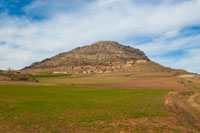
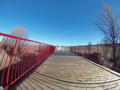
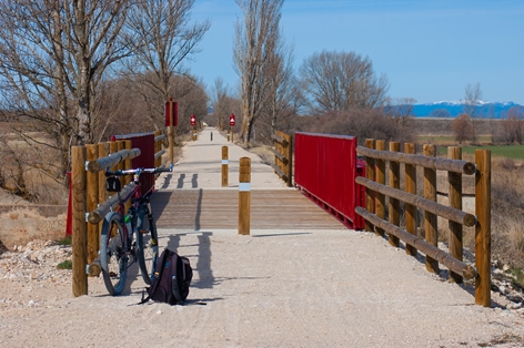
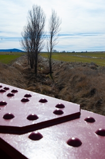
The user arrives at the wooden footbridge that crosses the Vega stream, with the Aleza mountain range dominating the landscape, contrasting with the cereal crops. Little by little, the route turns to the left with the typical turning angles of a railway line, approaching the town of Portillo de Soria where the hermitage of the Virgen de Silos welcomes the traveller. The old station of Portillo de Soria is located shortly afterwards.
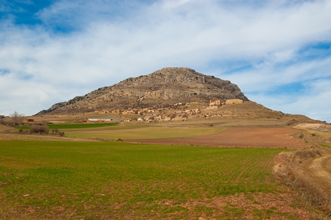
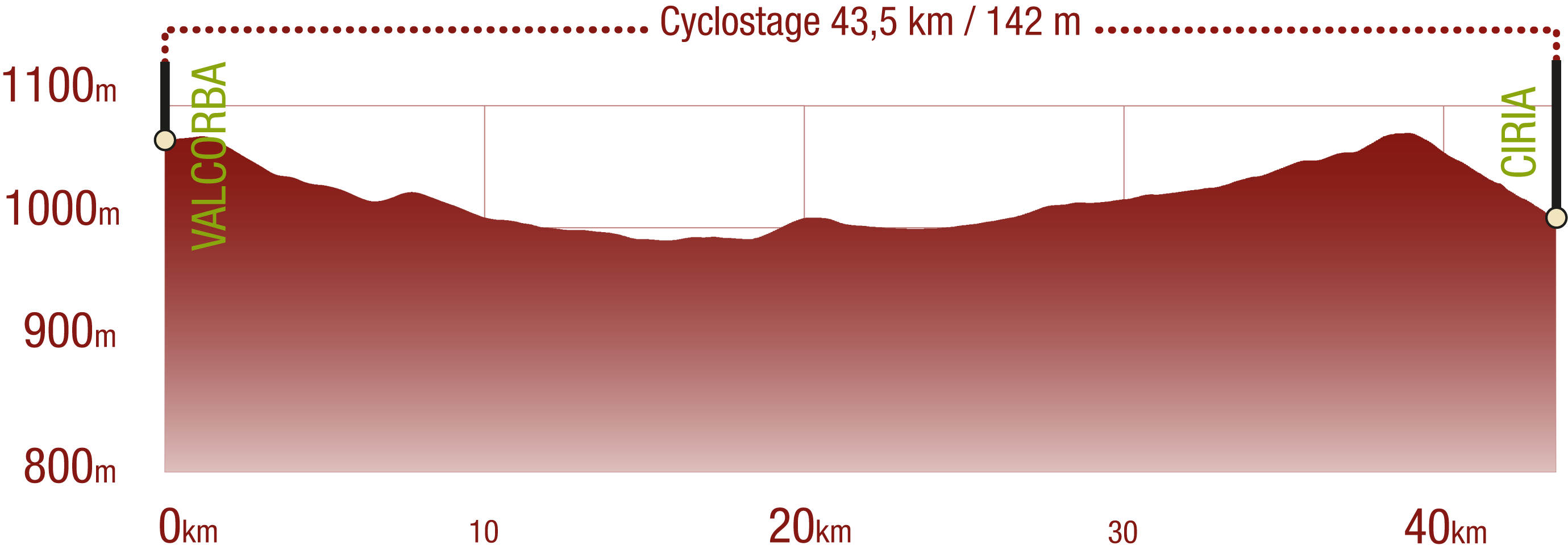
In a continuous but slight ascent, the Costanazo mountain range and small villages such as Torrubia de Soria and Tordesalas can be seen to the right of the route, reaching kilometre point 37 at the same time as the old Tordesalas station. A fully equipped rest area to regain strength and which allows the traveller to enjoy the Costanazo mountain range and the beautiful village perched on it, Sauquillo de Alcázar.
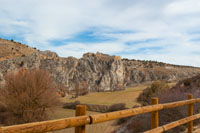
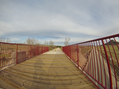
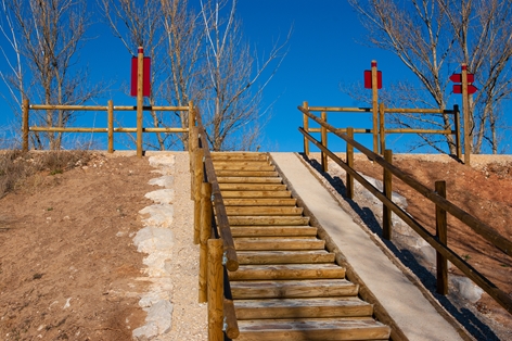
The Mediterranean woodland gradually gains ground over the crops as you advance towards the Sierra de Vigornia, with holm oak (Quercus ilex) and gall oak (Quercus faginea) groves appearing. The N-234 road crosses over an old bridge that has been reconstructed according to the original railway model, with a wooden road surface for hikers and cycle tourists. From here onwards, the route descends slightly and after glimpsing the hermitage of Ntra. Sra. de la Serna to the right of the route, outcrops of vegetation begin to appear in which the juniper (Juniperus thurifera) is the protagonist.
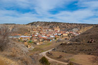
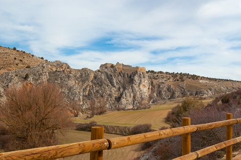
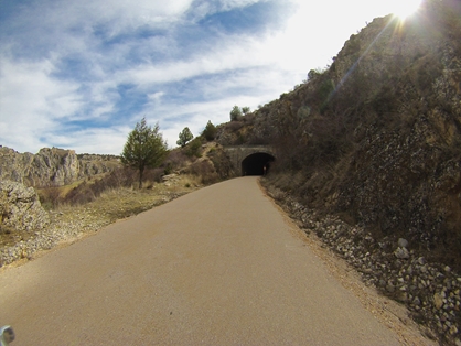
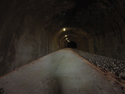
After passing kilometre point 41, Ciria castle can be seen and the route begins to pass through the interior of the Ciria tunnel, which is 245 metres long and artificially lit (as it is a curved tunnel and the road surface is not fully prepared, it is advisable to carry a torch for safety reasons).
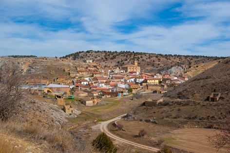
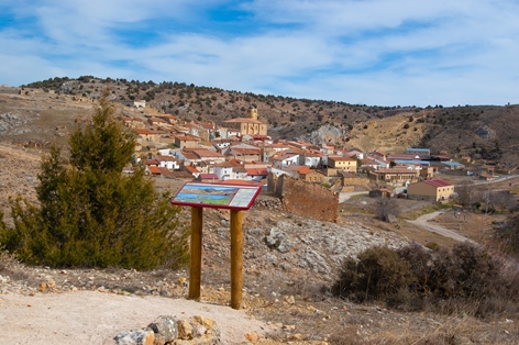
When you leave the tunnel, Ciria rises in all its splendour on the hill on which it sits, with the church of Santa Maria la Mayor standing out from the rest. Finally, the route continues along the bed of the river Manubles until it reaches the provincial border with Zaragoza, where the Valcorba - Ciria section of the Santander - Mediterranean Nature Trail comes to an end.
Sites on interest
- Soria Town Council
- Soria ni te la imaginas (Soria tourism website)
- Alconaba Town Council
- Candilichera Town Council
- Cabrejas del Campo Town Council
- Almenar de Soria Town Council
- Aliud Town Council
- Gomara Town Council
- Buberos Town Council
- Villaseca de Arciel Town Council
- Portillo de Soria Town Council
- Torrubia de Soria Town Council
- Ciria Town Council
Profile
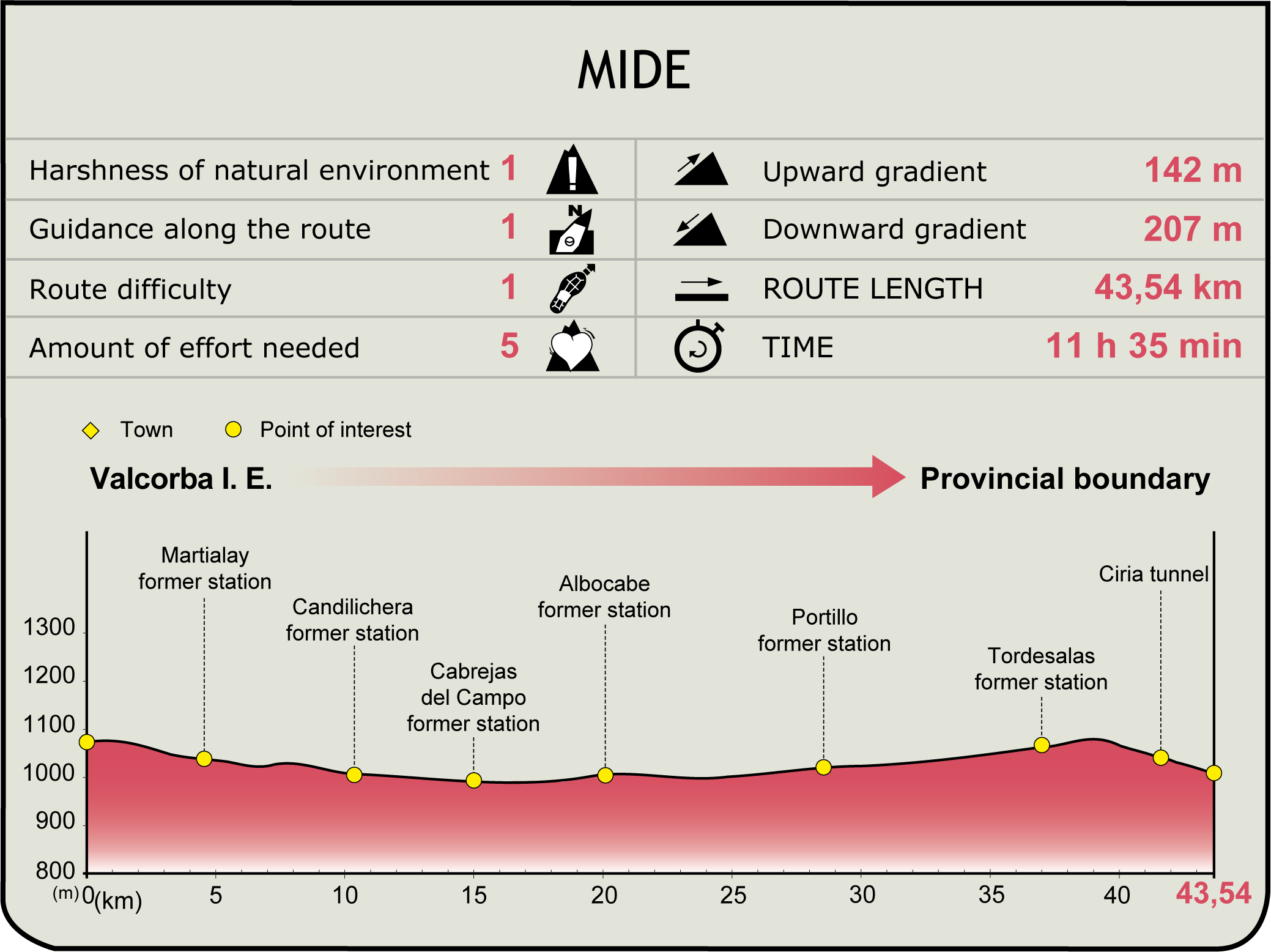
MIDE (Method for the Information of Excursions)
Featured
Further information
Soria
City and capital of the province to which it gives its name. It is located in a strategic enclave on the banks of the river Duero, and has been of interest to mankind since ancient times, as can be seen in the cave paintings dating from between 3000 and 2000 BCE in the area around Mount Valonsadero.
The architectural heritage can be found both in the city centre and in the vicinity of the river Duero, where notable monuments such as the church of Santo Domingo in the city and the hermitage of San Saturio and the monasteries of San Juan de Duero and San Polo in the vicinity of the river can be seen.
Soria's vast natural heritage is reflected in its gastronomy, particularly its wealth of mushrooms and all the related events such as the International Mycology Congress.
The festivals are no less important, notable examples being the week-long festivals in honour of the patron saint, San Saturio.
Ciria
This municipality in the province of Soria is strategically located in the canyon of the river Manubles, which may be related to the origin of its name. This location has been of vital importance since ancient times, and in the Middle Ages it was a place of border conflicts between Castilians and the Aragonese.
The architectural heritage includes the parish church of Santa María la Mayor and the hermitages of the Virgen de la Serna and the Virgen del Espino. But undoubtedly the most important monument in Ciria is its medieval fortress of Arab origin, built of stone and perfectly adapted to the terrain on which it stands.
The natural wealth of the surrounding area is made up of savin junipers (Juniperus thurifera) and masses of quercineas. These places, combined with the cereal crop lands, offer the fauna a whole ecosystem in which to live, where hares, rabbits, partridges, roe deer and wild boar can be observed.
The municipality's economy is based on agriculture and livestock farming, with various traditional activities linked to this. The patron saint of the town is the Virgen de la Serna, and the festivities in her honour are held on 23 August.
Multimedia
Downloads
GPS Downloads
Brochure and maps
Cyclability
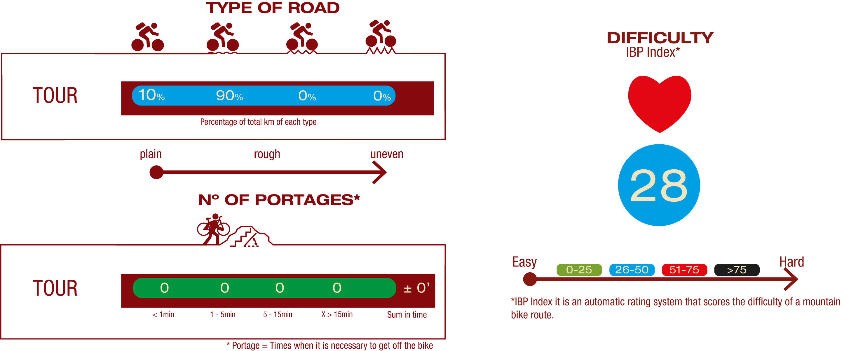
ROAD TYPE, PORTAGES & DIFFICULTY
SAFETY RECOMMENDATIONS
- Sections shared with hikers.
- Regular cattle traffic only on some sections.
- Agricultural machinery in the vicinity.
GENERAL RECOMMENDATIONS
-Find out about the technical aspects of the route and the weather on the day.
-Take care of the environment. Take care not to disturb animals or damage vegetation. Respect private areas.
-You must give priority to pedestrians and comply with general traffic rules.
-The environment in which you will be riding is open, free to move around and an area where many activities are carried out (sporting, forestry, livestock and agricultural activities). Always have an understanding, prudent, responsible and respectful attitude.
