- Home
- Rural Development
- Nature Trails
- Nature Trails
- Northwest Sector
- Santander-Mediterráneo
Santander-Mediterráneo Nature Trail. San Leonardo de Yagüe - Abejar Section
Description

A film-like setting hidden among the railway lines.
The old station of San Leonardo de Yagüe is the starting point for this route which travels through large pine forests, among which the Pinar Grande can be highlighted. In the 1960s this unbeatable natural framework was witness to the filming of various scenes of the film 'Doctor Zhivago', inspired by the similarity between these landscapes in Soria with the Russian regions where this historical drama is set.
This section of the Santander-Mediterranean Nature Trail starts at the old station of San Leonardo de Yagüe, in the far east of the town, where a rest area with an interpretation panel outlines the virtues of this section.
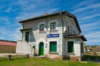
Starting at kilometre 0, the town of San Leonardo de Yagüe is left, advancing with road N-234 on the right of the trail, and the pine forest on the left. The swimming pool and other municipal sports facilities located after said road coincide with the first kilometre of the route, and soon after the Fuente de La Gitana recreational area is reached.
Following that, a section of just over 150 m is reached, where the original railway line has been conserved, and a refurbished path next to it can be walked along. This particularity has been motivated because in this and other places along the railway line, various scenes of the award winning film 'Doctor Zhivago' were filmed.
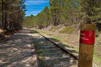
The landscape continues to be dominated by forests of wild pine trees (Pinus sylvestris), with the traveller being in one of the regions with the country's greatest forest tradition, with forests being included in the Catalogue of Forests of Public Use in Castilla and León (Catálogo de Montes de Utilidad Pública de Castilla y León). The trail heads north, beginning an incline that is not too steep thanks to the characteristics of the old railway line. A cattle grid is crossed, and soon after kilometre point 3 is reached.
Continuing immersed in the forest, after passing kilometre point 6, the route turns right and then left soon after, advancing along a forest path. To the left, the old station of Navaleno is reached, today this has been converted into a rural lodge, around which the second section of the original railway line has been conserved, hence the previously mentioned detour.
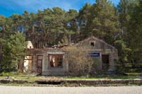
The route advances parallel to road SO-P-6002, said road is then crossed (due care should be paid) to then continue once again along the old railway track. A new cattle grid, a few metres before kilometre point 8, indicates the entrance to Pinar Grande, Forest of Public Use No. 172, which is some 12,000 ha large.
Bridges above the route and crossroads appear as the kilometres pass, until reaching kilometre point 13, where there is a rest area a little after the old station of Pinar Grande. Its current state in ruins is a contrast to the importance it held in the past, with the station being the highest along this railway.
Slowly but surely a gentle decline begins, with the wild pines being a loyal companion. After various kilometres, kilometre point 18 is reached and afterwards a cattle grid marks the end of the Pinar Grande forest, where the cattle grazes on the fresh pastures that grow here.
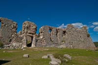
A kilometre later, a new cattle grid brings the traveller nearer to the La Blanca shrine, which with its large dimensions, raises up and dominates the landscape, and where every Saturday in July it holds a pilgrimage where the residents of the Pueblos de la Concordia towns congregate.
After crossing road SO-P-5018, taking care when doing so, kilometre point 20 is reached and soon after so is the Cabrejas del Pinar stop. Clearly declining and advancing parallel to road N-234, the road through which Cabrejas del Pinar is reached is crossed, with the town cemetery being left on the right. Metres after kilometre point 23, road SO-P-5033 is crossed, with care. This road also leads to the aforementioned town in Soria.
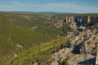
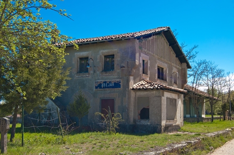
In spring the cereal crops turn this part of the section green, with the juniper forests of the Sierra de Cabrejas mountain range rounding off the landscape. The environment remains the same, only changing with the apparition of a few pine growths, and soon kilometre point 26 is reached as well as the old station of Abejar, which is the end point for this section of the Santander – Mediterranean Sea Nature Trail between San Leonardo de Yagüe and Abejar.
Map
Puntos de Interés
Hidrografía
Orografía
Profile
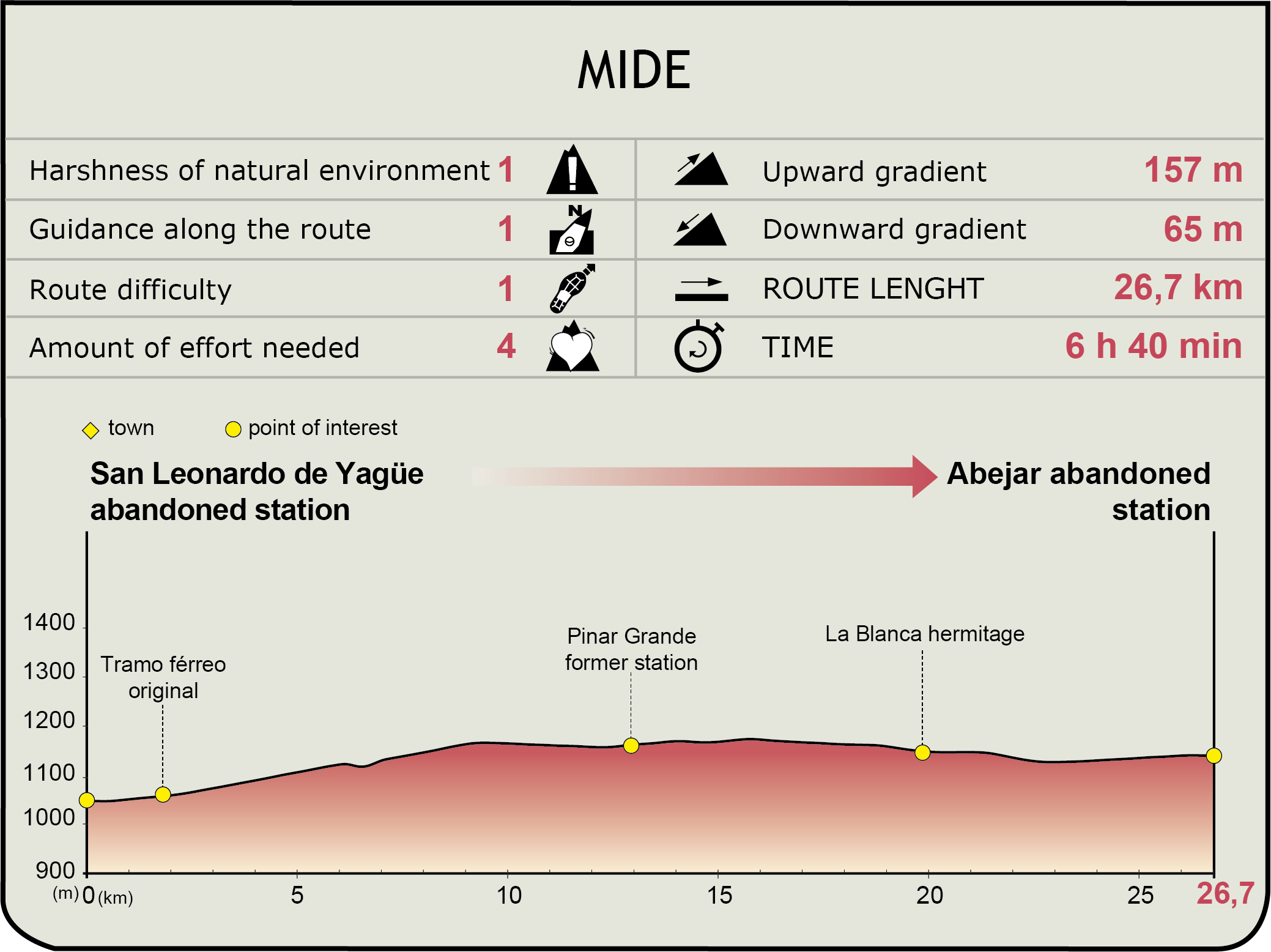
MIDE (Method for the Information of Excursions)
Featured
Further information
Cañón de Río Lobos Canyon
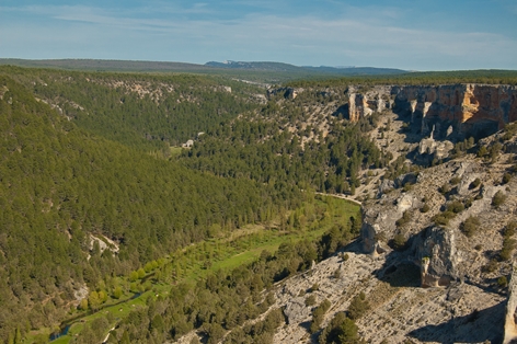
The roads that access the Cañón del Río Lobos leave from San Leonardo de Yagüe, where the start of this section of the Santander-Mediterranean Sea Nature Trail begins. Via road SO-934, the well-known Puente de Siete Ojos bridge can be accessed, and via road SO-920, the San Bartolomé shrine can be neared. Cañón del Río Lobos was named a Natural Park in 1985, pursuant to Decree 115/1985, of 10 October. For years the waters of the River Lobos had patiently eroded the limestone rock that prevails in the area. The vertical walls created through this process of erosion have resulted in a spectacularly beautiful landscape, being the ideal habitat for species of fauna, including a large colony of griffon vultures (Gyps fulvus).
San Leonardo de Yagüe
A town in Castilla and Leon in the north east of the province of Soria, it has been inhabited since prehistoric times, as can be attested due to the settlements in various caves in the Cañón del Río Lobos canyon. Celtic settlements built different forts in the area, and after Roman times the town of San Leonardo was definitively established, around a hospital of pilgrims. It is a town with a marked forestry nature, and to this day a good amount of it economy is based on this. In terms of the architectural heritage, highlights include the bastioned castle of Juan Manrique de Lara, a 16th century Renaissance building, the San Leonardo Abad church and the medieval arch of the Puerta de Aranda gateway, the only vestige to the medieval wall that protected the town in the past. The festivities of San Leonardo, the town's patron saint, are held on 6th November. On 22nd July the Santa María Magdalena festivities take place. And the eleven religious-warrior paloteo dances take place on 2nd and 3rd February for the Las Candelas and San Blas festivities.
