
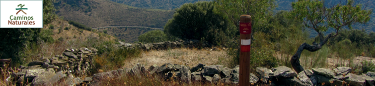
Stage 40: Saucelle - Hinojosa de Duero
Description
A route along the rivers Huebra and Camaces in Arribes
The local people have used the term "arribes" since ancient times to describe the large geographic depressions carved out by rivers. Although Arribes del Duero is the most important one, the tributaries of the Duero, such as Huebra or Camaces, have also carved out these granite canyons. This route traverses through two "arribes" of extraordinary beauty with spectacular waterfalls.
The route begins in the upper edge of the town of Saucelle, located on a plateau surrounded by the rivers Huebra and Duero. Past the Shrine of San Lorenzo, the route continues along a small road that climbs down a steep slope, which can be quite challenging for cyclists. The path narrows gradually until it is barely a track through holm oaks (Quercus ilex), white Spanish brooms white flower (Cytisus multiflorus) and Scotch brooms (Cytisus scoparius).
The track reaches a well-paved path where it turns right and continues to downward, offering stunning views of the River Huebra and its valley. It soon reaches the road from Saucelle to Hinojosa de Duero, near a former road workers' house that has now been restored for the town's refuge program.
For several kilometres, the route runs along this quiet road, which traverses through deep granitic valleys or "arribes". It first crosses Carranzo Bridge on La Ribera Creek. Next to the bridge is Cachón de La Ribera, a gradient by which the creek's waters flow down from the plain. Further on, the path crosses the Molinera Bridge on the River Huebra.
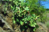
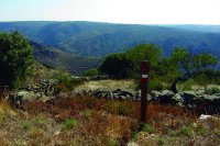
The landscape offers spectacular views of the gorges and granite cliffs carved out by the rivers. As the path descends, the vegetation is more in tune with the higher temperatures in the valley than in the Saucelle peneplain. Prickly pears (Opuntia ficus-indica), rockrose (Cistus ladanifer), holm oaks and prickly junipers (Juniperus oxycedrus) blanket this hard, rugged terrain.
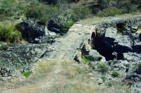
The route continues upstream along the River Camaces. Shortly before reaching Puente Nuevo, it veers onto the path that emerges on the left, and continues along the river. Not far from here is Ojos Bridge, a charming stone bridge built in the Middle Ages, which the route uses to cross the River Camaces. The route climbs up a small path that traverses through grazing lands that holm oaks and brooms vie to colonise.
Further on, at a sharp bend, the route drifts back to the road for a few metres, and then takes a path that ascends straight up to the ruins of an abandoned town and San Leonardo Tower.
The road leads to a spectacular viewpoint, accessible to disabled people, that looms above the confluence of the rivers Camaces and Huebra. One can see Cachón de Camaces and several huge and stunning water holes on the riverbank far below.
The route now turns westward to the right and takes the path to Hinojosa de Duero, also known as Camino de San Leonardo. The landscape changes completely: vast stretches of gently undulating terrain, mostly devoid of trees and covered with grasslands vegetation, where livestock (mostly cattle) graze. The farms with no livestock grazing have been colonised by broom.
Shrubs and small trees that need moisture and a cool environment, including willows (Salix sp.) and brambles (Rubus sp.), thrive near streams and fountains, or on the edge of the stone walls that serve as boundary markers. Amidst this landscape, the path approaches Hinojosa de Duero, which appears shortly after crossing an abandoned railroad track.
The route enters this town, and the endpoint of the Stage, near the place where the municipal sports centre is located, and continues to a small rest area with a fountain. Located in the depression known as "Teso de San Pedro", this town sits on an old Iberian fort. It is mainly famous in the province of Salamanca for its cheeses.
Sites of interest
Profile
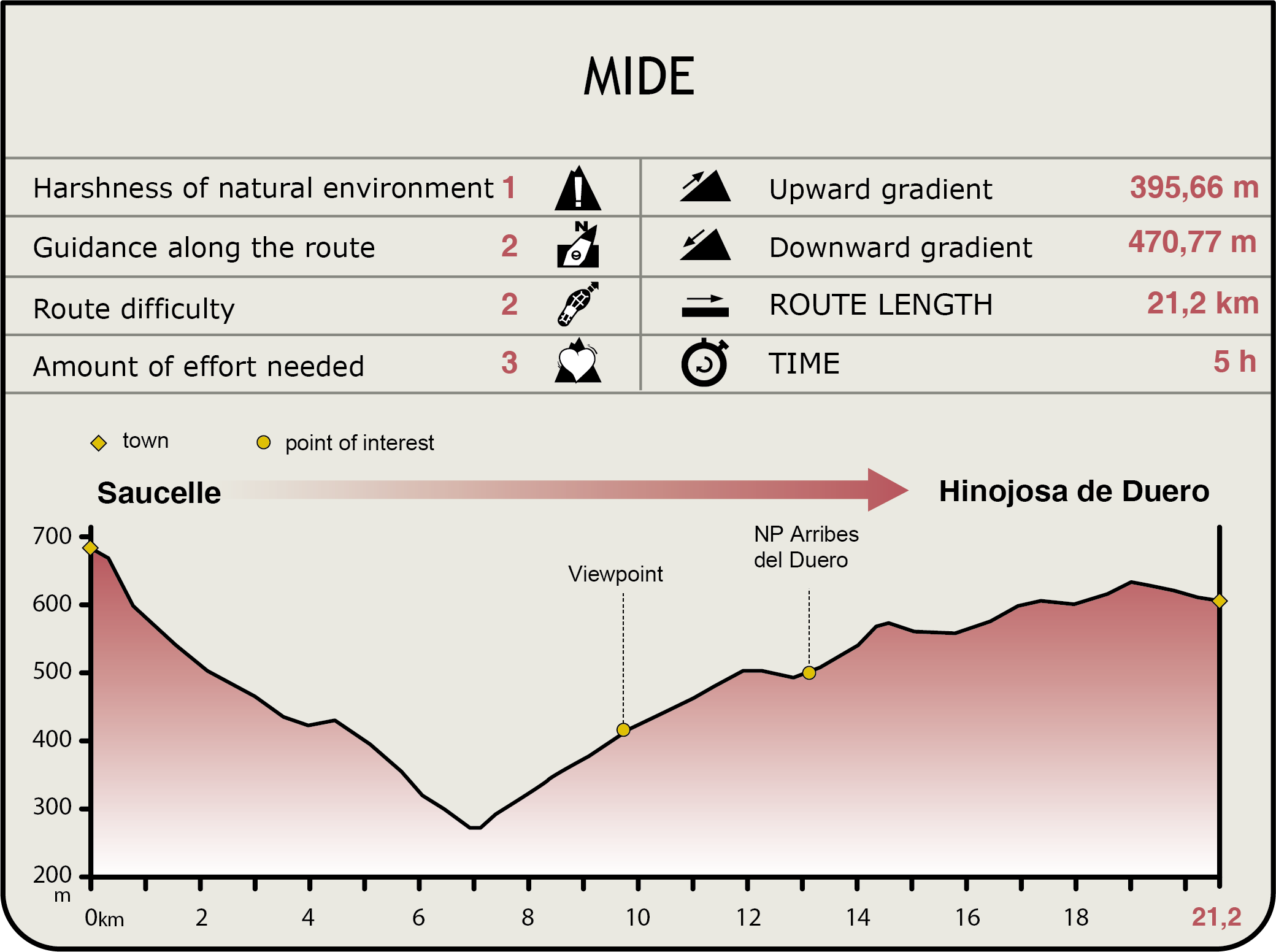
MIDE (Method for the Information of Excursions)
 Harshness of natural environment
- 1. The environment is not risk-free
- 2. There are more than one risk factors
- 3. There are various risk factors
- 4. There are quite a lot of risk factors
- 5. There are many risk factors
 Guidance along the route
- 1. Well defined trails and crossings
- 2. There is a clearly marked trail and signage
- 3. Requires the identification of geographic features and cardinal points
- 4. Requires off-path navigation
- 5. The trail is interrupted by obstacles that have to be gone around
 Route difficulty
- 1. Walking on a flat surface
- 2. Trails with different types of path
- 3. Walking on stepped paths or irregular terrain
- 4. The use of hands or jumping over the terrain is necessary
- 5. The use of hands is required to progress
 Amount of effort needed
- 1. Up to 1 hour of continuous walking
- 2. Between 1 and 3 hours of continuous walking
- 3. Between 3 and 6 hours of continuous walking
- 4. Between 6 and 10 hours of actual walking
- 5. More than 10 hours of continuous walking
Multimedia


