- Home
- Rural Development
- Nature Trails
- Nature Trails
- Northwest Sector
- Cordillera Cantábrica. Asturias interior
Stage 11: Bello - Santibáñez
Description

Along the Coto Bello hill range
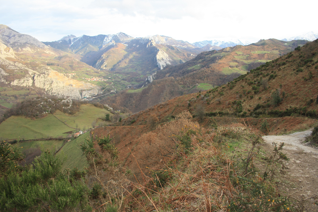
The Trail heads south from the rural town of Bello (Beyo) to Murias Santibáñez, through Aller County, where the Aller River Valley meets the River Negro through the Coto Beyo hill range, an area where the restoration of the vegetation cover has made its mining past barely perceptible.
The route begins in the town of Bello, located about four kilometres from Cabañaquinta, capital of Aller County. Bello is home to a late 17th century parish church, and the Solís Castañón manor, a typical example of 18th century civil architecture. The building belonged to Francisco Solís Castañón, perpetual alderman of Laviana County, who rebuilt the house in 1784.
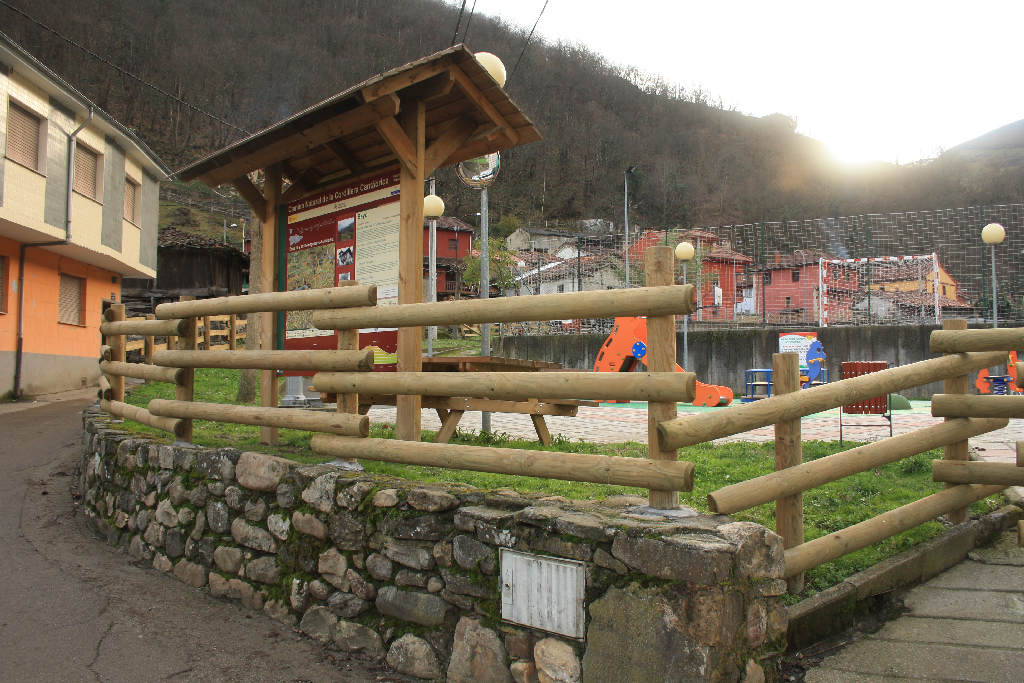
The information panel is located in a small park, where the trail head is situated immediately after entering Bello. The Trail enters the town following the directional signs. Shortly after crossing the bridge over the River Bello, the route leaves the town via a concrete track, which soon after turns into a gravel path with a steep climb.
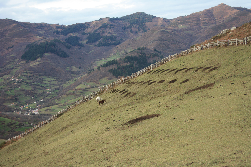
The first stretch of the Trail runs along a dirt track with a steep climb, through small chestnut groves (Castanea sativa) and meadows from where there are beautiful views of the Peña Mea Massif.
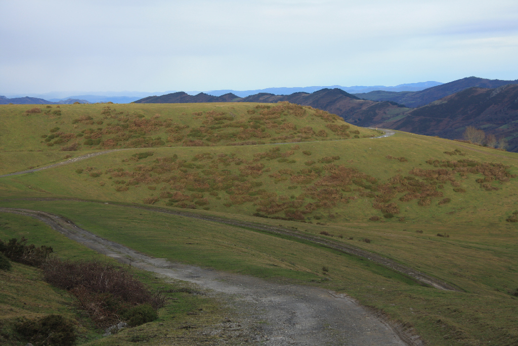
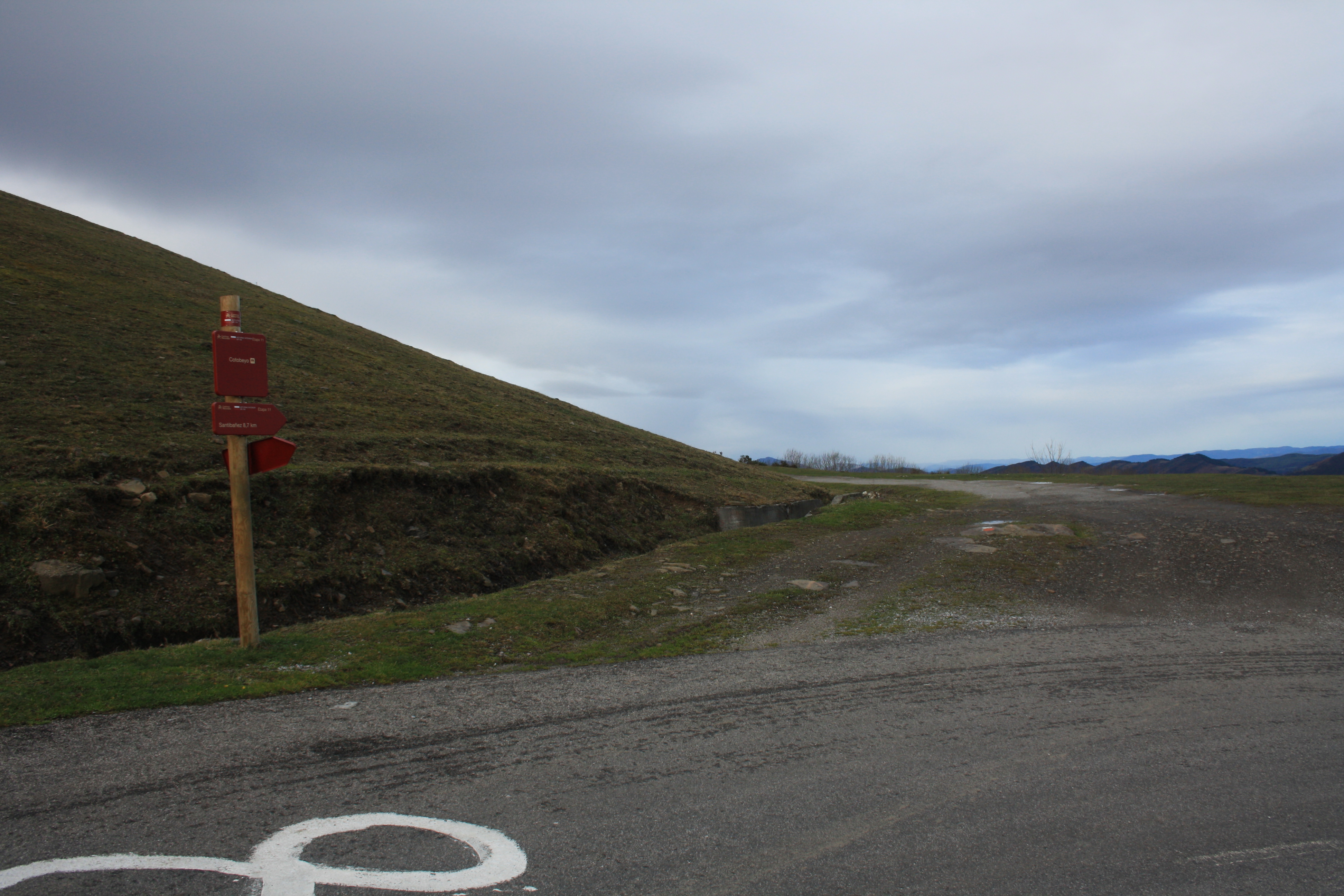
The course continues to climb through slopes covered with ferns, bramble, heath and gorse towards the Coto Beyo hill range. On reaching its highest point (about 1,200 m), the dirt track converges onto a road.
There are two possible alternatives at this point. The first is to head down the road to the town of Levinco from the previous section of this Nature Trail, which is located before reaching Bello. This loop route runs along the main paved road, passing through the towns of Veguelina and Corigos, then onto the AS-112, which heads to Levinco after passing through Santa Ana, Cabañaquinta and Vega. The towns of Soto de Aller, famous for its tower and the Sanctuary of Miravalles, and Serrapio, home to the church of San Vicente, are located near the stretch between Corigos and Cabañaquinta. In Levinco, you can climb back to Beyo via the AE-4, crossing the railroad tracks.
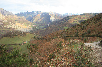
At the point where the track meets the main road, the route continues up the road, following the directional signs, to a track to the right that leads to the old mine. The road runs along a dirt track built over a restored mine waste tip, passing through small birch groves (Betula pendula) and grazing lands.
These open-pit mines stretched between the valleys of Nembra, Aller and Beyo (Aller). The coal mines, now being restored, began to operate in 1979 and were closed in 1990. Nowadays, owing to the restoration of the stripped surface and the regeneration of the plant cover, the mining past is barely perceptible.
Soon after, the route leaves the old mining site behind and continues down the dirt track towards the rural village of Murias. Before reaching the village, there is a thematic table that explains the panoramic views in this area (Tres Concejos Peak, Rasón Mountain Passes, Cueto, and La Boya).
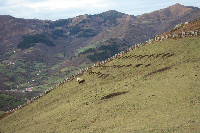
Once in Murias, the route traverses through the town to continue along the road to the left, towards the rural town of Santibáñez de Murias, the final destination of this section.
On the way to Santibáñez de Murias, there is a path on the left that climbs to the rural town of Villar (Vichar), passing through meadows and chestnut groves, then heads back down to the road, just before entering Santibáñez. The other option is to continue by road to the town of Santibáñez de Murias.
Sites of interest
Profile
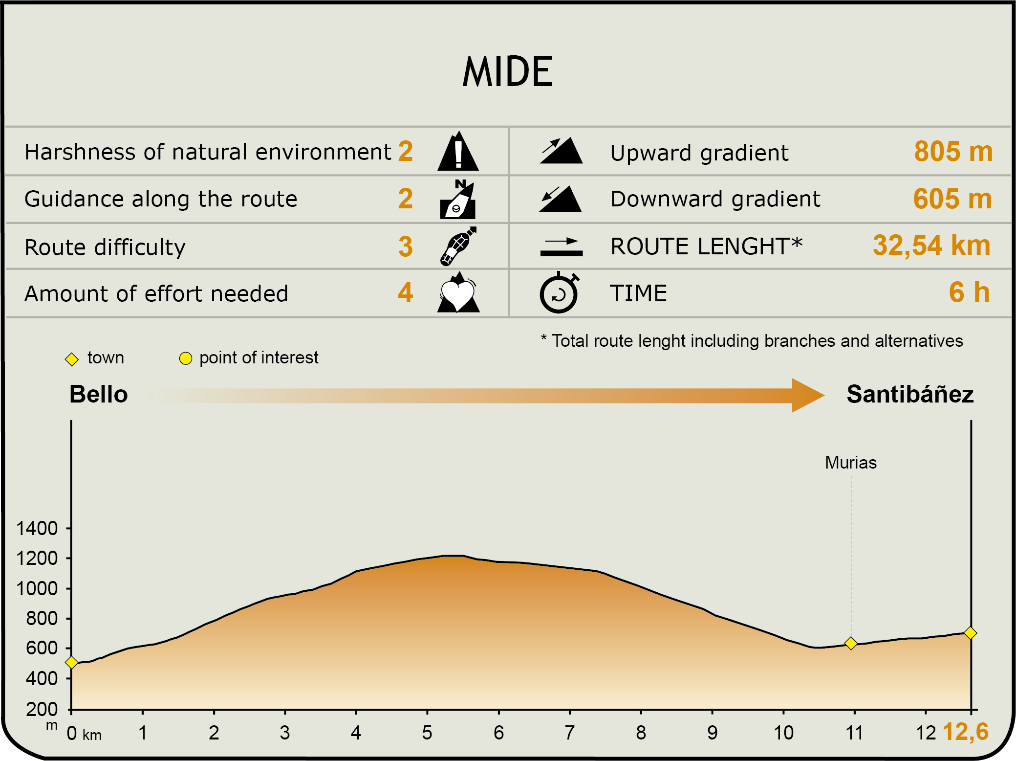
MIDE (Method for the Information of Excursions)
Featured
Further information
Soto de Aller Tower
The town of Soto de Aller was famous for its tower, of which only some remains stand today. It appears that this tower, crowned with square battlements, like the wall section that still stands, was part of an 11th century castle. It was built to defend the castle against foreign invaders coming through San Isidro mountain pass. Legend holds that this castle was the love haven of King Alphonse VII and Lady Gontrodo.
Throughout its history, the Tower of Soto de Aller underwent numerous reforms, at times to be expanded and at others due to collapses. These reconstructions can be seen in the walls and windows. The older reconstructions are shoddier, while the most recent ones are more aesthetic. The entire southern wall and part of the eastern and western walls still stand today. The openings on the eastern wall are also original, as is the gate. The remaining parts come from subsequent renovations.
The first documented owner was Pedro Díaz de Aller, in 1100, mayor and head knight of Aller. The property was given to him in recognition of his loyalty to the king. Although the Díaz Belascori also occupied the building, the owners of the property from the 14th to the 20th century were the Bernaldo de Quirós family. One member of this family, Augusto Díaz-Ordonez y Bernaldo de Quirós, Count of San Antolín Sotillo, rebuilt the tower in the early twentieth century without due regard to the preservation of the original medieval tower, giving it the romantic and neo-Gothic appearance it now has.
Sanctuary of Nuestra Señora de Miravalles
About 500 m from Soto de Aller, along a charming path to the village cemetery, stands the Sanctuary of Miravalles, a place of devotion for the people of Aller, who celebrate the feast of Our Lady of Miravalles on September 8th.
The church is an eighteenth-century baroque building of extraordinary beauty, built over an earlier construction, of which several 15th century elements, such as the vaults, were preserved. The arcades of the shrine were rebuilt in the late nineteenth century. A gothic image of the Virgin Mary and its companion altarpiece, sculpted by José de la Meana in the eighteenth century, can be found inside.
Legends holds that the shrine was built in the place where grew a hazel tree, as is often the case with Marian apparitions, which once felled continued to blossom within the walls of the temple. Even today, the branches can be seen in the belfry.
Near the Sanctuary of Miravalles starts the second branch of the Way of St. James. This beautiful wooded field is used by the pilgrims to set up camp and rest. In the nineteenth century, the people of Aller chose the field of Miravalles to revolt against Napoleon's troops.
Church of San Vicente de Serrapio
The church of San Vicente de Serrapio is a Romanesque temple built in the twelfth century. Its pre-Romanesque origins (10th century and earlier) have been proven by archaeological findings. It was designated a Historic-Artistic monument in 1983. The church has a series of excellent late medieval paintings in the central apse that have been restored.
The church consists of three naves with a triple apse and a room next to the sacristy where several engravings which date back to the foundation of the temple in 944 can be found. There is also a wall from an unspecified date. Also kept in this room is a Roman tombstone found in the platform of the high altar in 1830. The gravestone was dedicated to Jupiter, the supreme deity of the Roman pantheon of gods. There is also another funerary inscription from the 9th-10th centuries.
