
- Home
- Rural Development
- Nature Trails
- Nature Trails
- Northwest Sector
- Ruta del Cantábrico
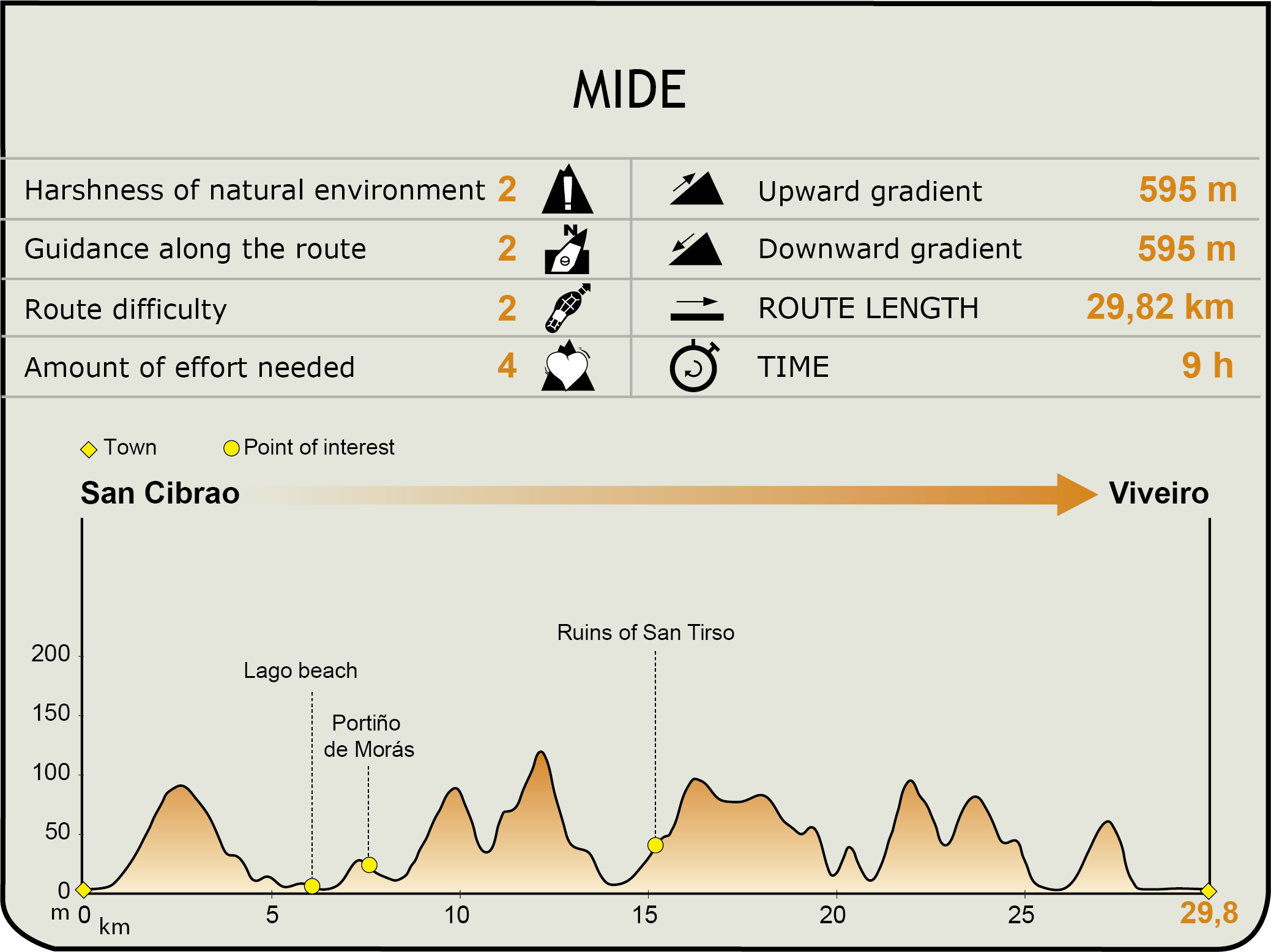
Stage 5. San Cibrao - Viveiro
Description
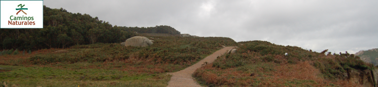
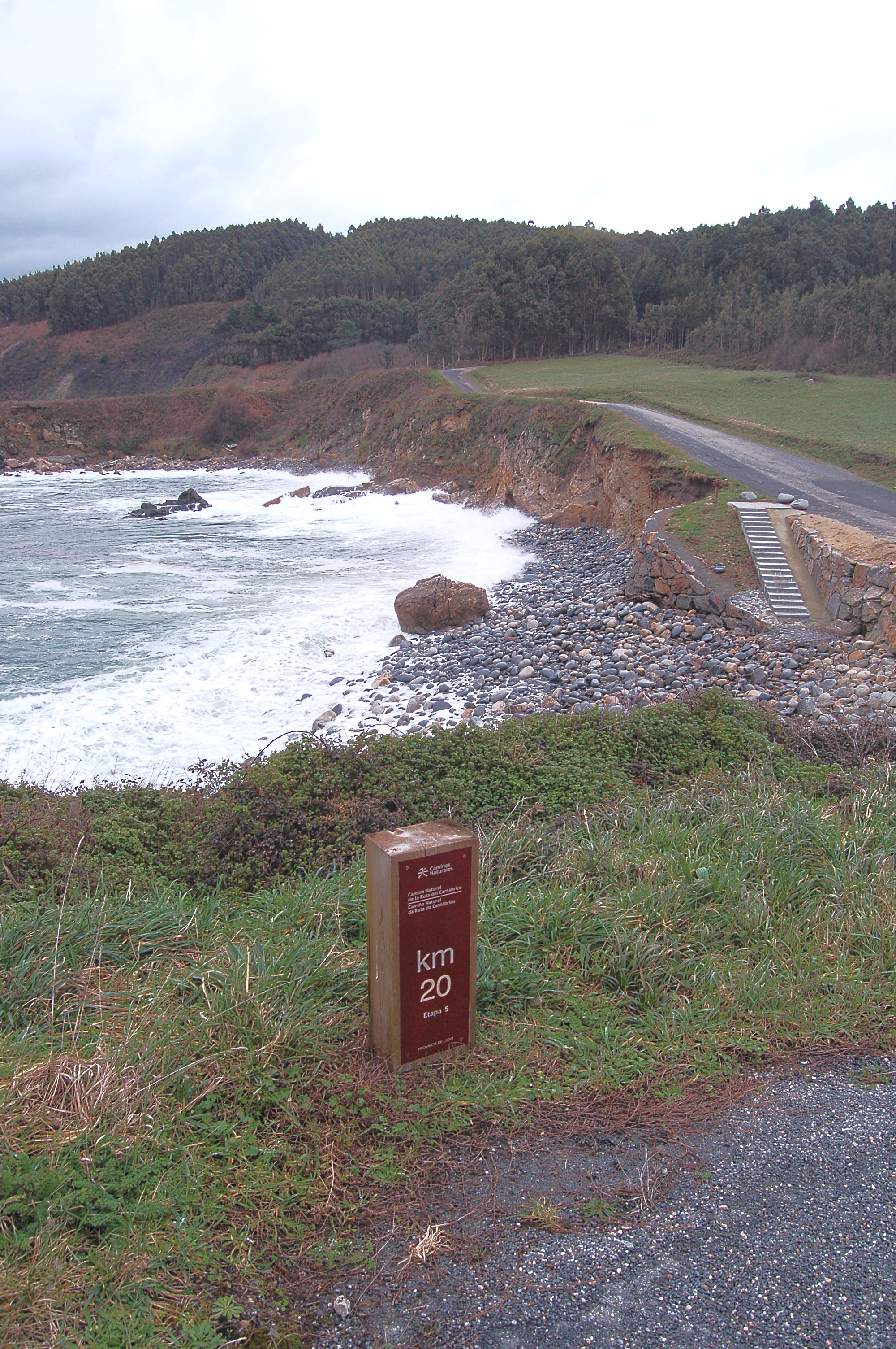
Hills covered in eucalyptus trees lead to steep cliffs and white-sanded beaches.
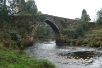
The traveller leaves San Cibrao by the Lierio ría crossing the O Bao medieval bridge over the Covo river. After the Alcoa industrial complex dedicated to alumina-aluminium, the traveller reaches the Lago beach and the Portiño de Morás. From here, the trail follows the limits of the SCI and SPAB of Costa da Mariña Occidental, and zigzags in and out of it. The ruins of San Tirso Monastery stand before many beaches, and the traveller passes through Celeiro beach before reaching Viveiro.
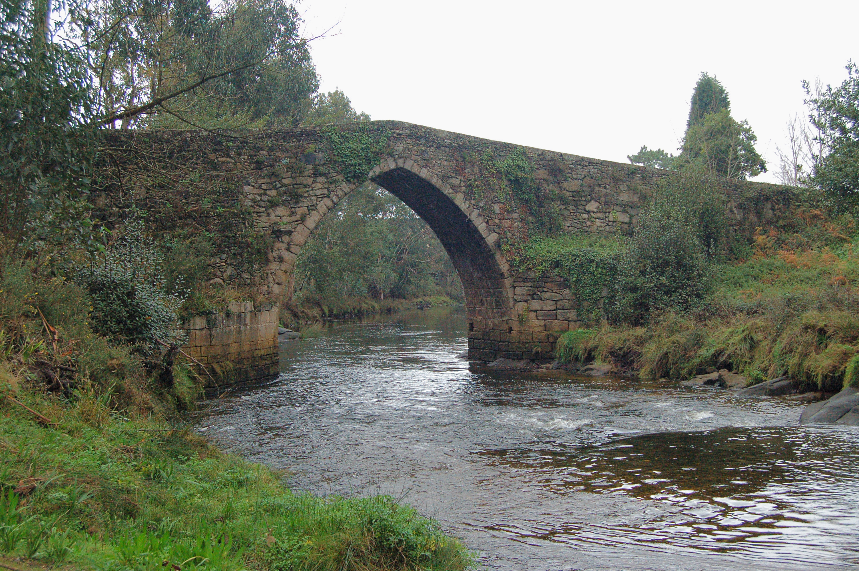
The fifth stage of the Cantabrian Sea Nature Trail is the longest and steepest of the whole trail. It starts at the Reina Sofía Park in the town of San Cibrao. Then it crosses the Lieiro ría by means of the pedestrian crosses and takes the road to its left. It continues upstream the Covo river, which, at the end of the wooden footbridge, surprises the traveller with the presence of the O Bao medieval bridge, where they can enjoy the fresh air of the riverside by taking a break in the recreational area nearby.
Then, the trail enters a eucalyptus wood and continues along forest trails; soon after kilometre point 1, it turns right to take the road, although it leaves it a few metres later, in the first deviation right. The trail zigzags a little before leaving the road for a dirt path where the traveller will be surrounded by a dense eucalyptus wood which leads to the LU-142 road. The traveller turns left to take this road, walking with the utmost care, until a signal points to a deviation to the right.
Walking again by a wide dirt path, the trail enters a new eucalyptus wood that offers the traveller some shadow. After turning left again, the trail hits kilometre point 3 of this stage and soon after starts a downhill section shared with motor traffic. The narrow-gauge railway tracks are crossed by an underpass and the trail continues north, leaving the houses behind.

The trail continues in the direction of the coastline, leaving the alumina-aluminium to the left, at the same time that it crosses the town of Barxa, before reaching the site of a well-known aquafarming factory.
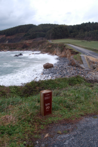
Soon after kilometre point 6, the industrial area is left behind at the same time that the shared section ends, and the trail continues by crossing the road by an underpass to the Lago beach. At the end of the track that runs along the beach, the trail takes the road, although a few metres afterwards it becomes a wide dirt path. After crossing the LU-P-2602 road, the traveller can see far away the large concrete blocks used for building piers - that means that they are approaching the Portiño de Morás.
After reaching kilometre point 8, the trail turns left, leaving the Portiño de Morás in front of it. In its ascension, the trail becomes narrower and runs towards the West among a dense gorse (Ulex europaeus) patch; there, the traveller enters the Costa da Mariña Occidental SCI and SPAB.
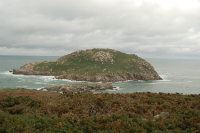
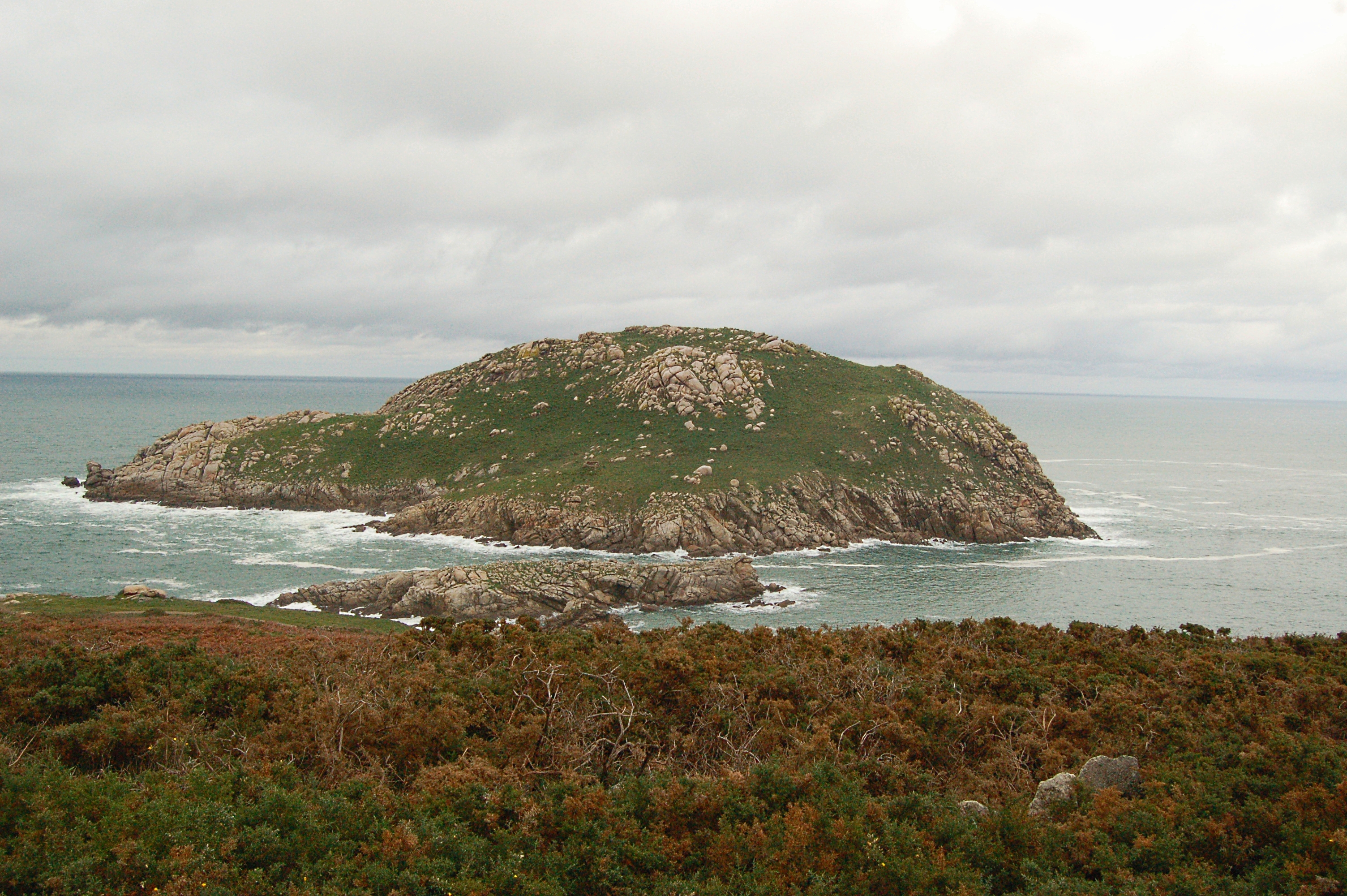
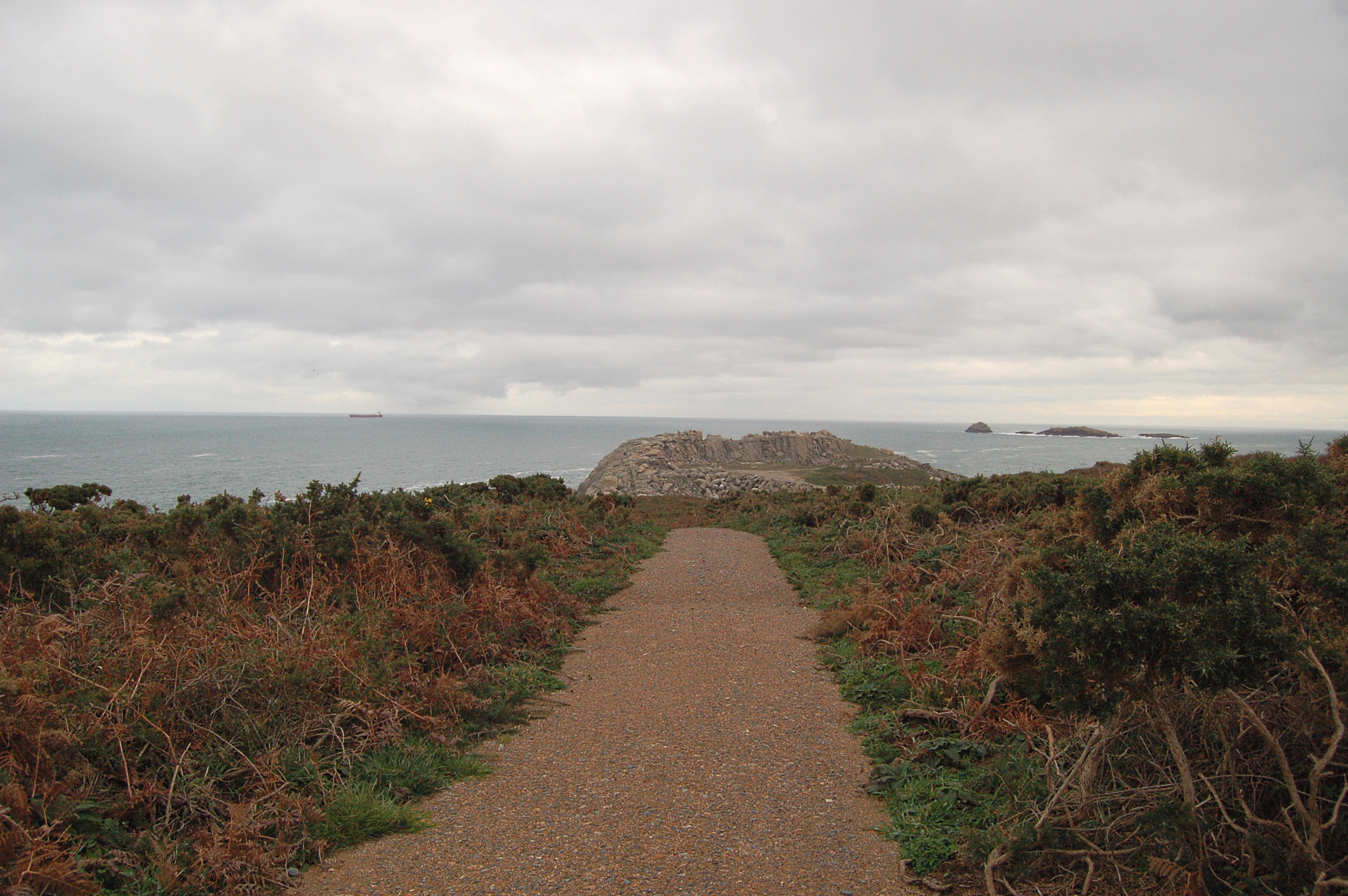
The trail enters a wood of repopulation pines and reaches kilometre point 10, and from this point it becomes a wide forest track which narrows a few meters afterwards, where the traveller is welcomed by the view of the Sarón island. The layout of the trail follows the coastline relief uphill and downhill, alternating eucalyptus tree and dense gorse patches. At kilometre point 13, the trail continues by the left side, leaving the Punta Merixe at its right. However, the pretty view of this Punta Merixe well deserves a small 300 m detour.
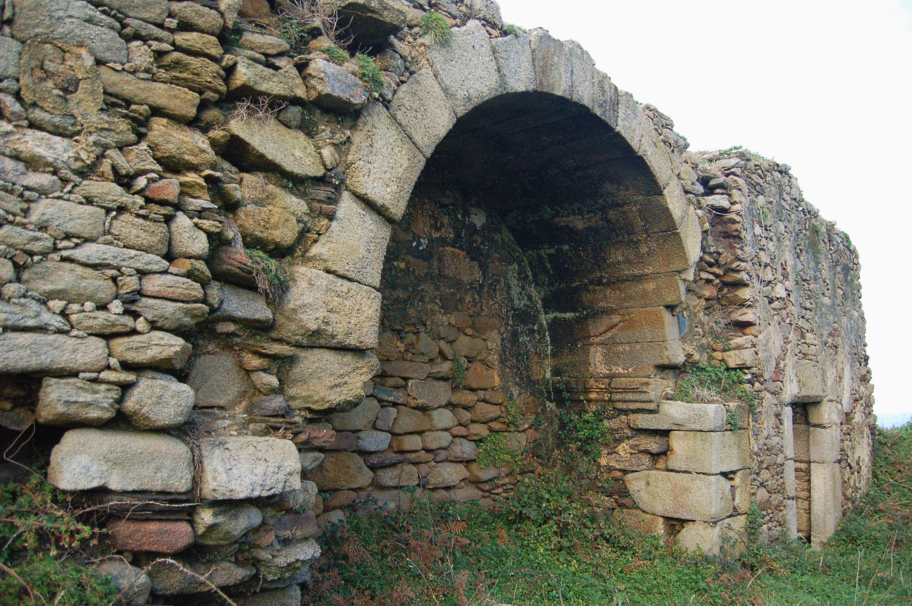
Back to the Cantabrian Sea Nature Trail, and after crossing a new eucalyptus wood patch and a green field next to a group of houses, a new shared section begins, which goes down to the Portocelo beach and then up by an asphalt road, passing by the remains of the prehistoric human settlement of San Tirso. This settlement was born as a castro and, centuries afterwards, a monastery was built on the same site, which, although the monastery was no longer inhabited, was kept as a place of worship until 1929.
The trail leaves the asphalt road by the dirt path to its right. The trail continues until reaching kilometre point 16, in the middle of Monte do Castelo, where it reaches a new deviation that leads to the Faro de A Roncadoira. Then, the trail goes down by the asphalt track on the left by a new sections shared with motor traffic that leads to the town of Vilachá. Once this town is left behind, the trail takes the signalled dirt path.
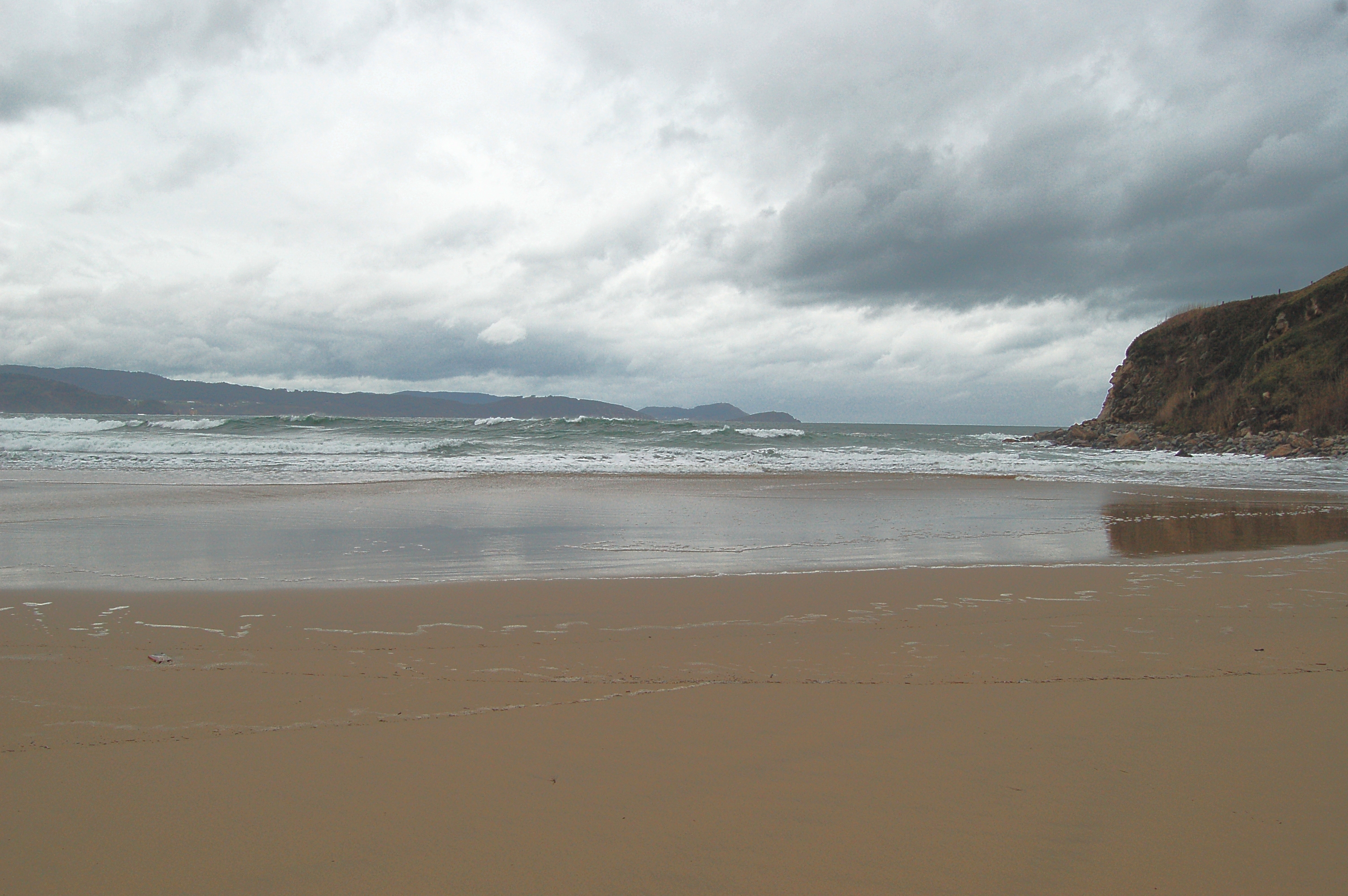
The trail runs across eucalyptus woodland and goes uphill and downhill adapting to the orography of the land. Following the signals, the traveller leaves this wide path and takes a steep track to its right that descends to the Muiñelos beach. From the beach, the trail takes the road up and then goes down by the LU-P-2610 road to the Esteiro beach, a beach much loved by surfers.
Continuing by an asphalt road, the trail climbs away from the beach and takes a path to the left which, after a new deviation to the left, a steep climb follows, after which the trail takes an asphalt road and soon after the LU-P-2610 road, which is left behind a few metres later when the trail takes the path that leads to Portonovo beach.
The trail turns again south, and leads once more to the LU-P-2610 road. Before reaching the town of Faro, the traveller finds a 1 km detour outside the trail layout that leads to the Mirador de Monte Faro. Back to the trail, and after leaving behind the houses of the town of Faro, the trail takes a path to the right and continues among green pastures before going back to the road, descending between the houses by the Area beach and continuing by a paved pedestrian promenade. An information board offers the traveller an explanation of the dwellers of the Area beach over the ages, according to the archaeological findings in the area.
After leaving a park with swings and slides behind, the trail reaches a parking lot and soon after continues along the pavement. Before the end of the large Area beach, this pavement ends and the trail continues climbing along a road until it reaches the LU-862 road. A few metres afterwards, the trail takes de deviation that leads the traveller into the town of Celeiro and, after a short stroll by its streets, leads them to the Celeiro beach. The trail continues along the pavement, leaving behind the Fishermen's Guild and the monument that honour the people of the sea.
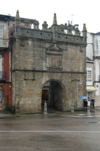
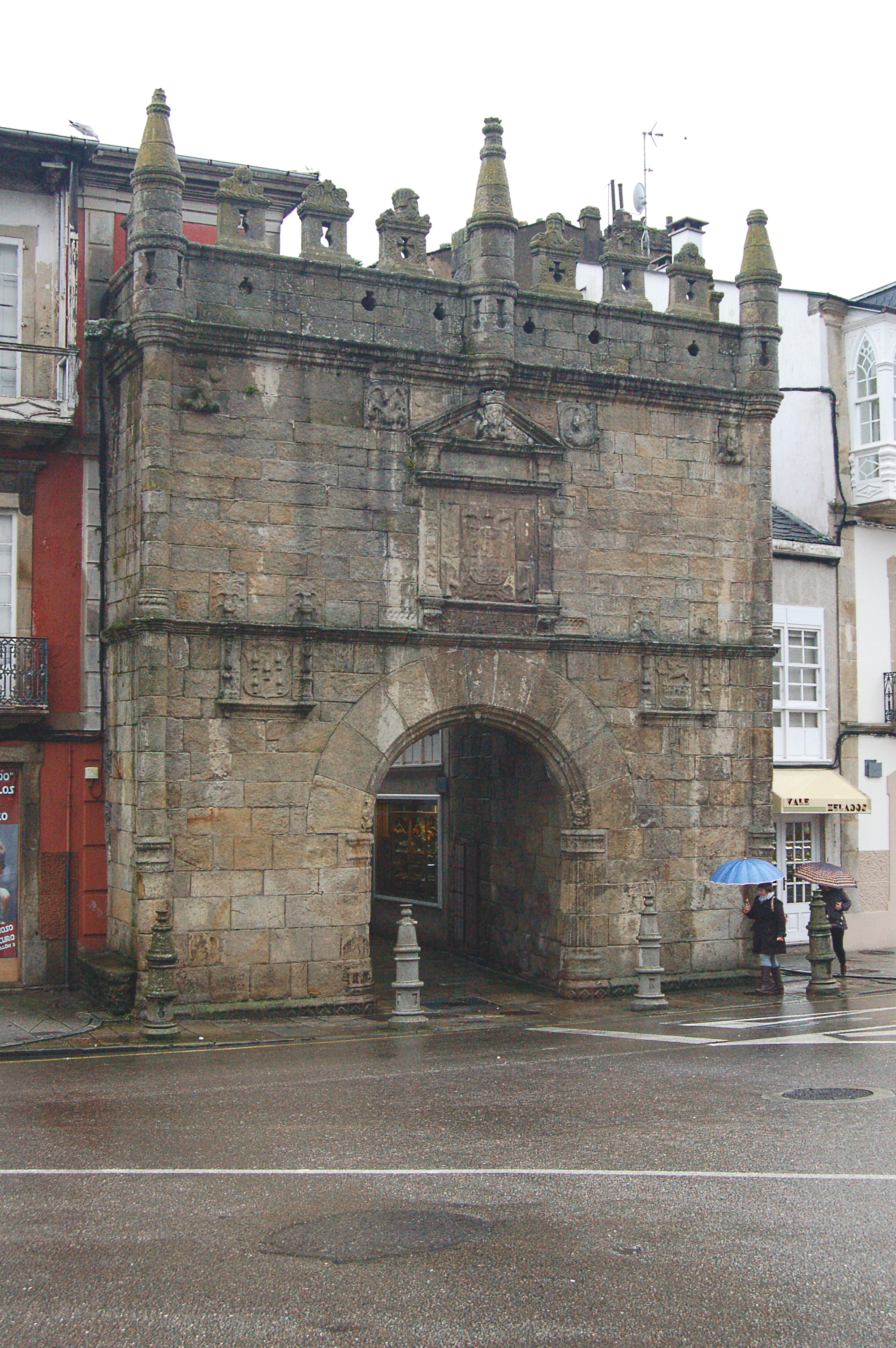
Walking along the promenade which runs parallel to the road, the trail hits kilometre point 29, where fishermen can be often observed repairing their nets and fishing gear. Once deep in the ría area, the trail leaves behind the marina and, soon afterwards, kilometre point 30. The traveller is now in the Viveiro bus station, opposite the town tourist office, where they will find the information panel that marks the end of this fifth stage of the Cantabrian Sea Nature Trail. Approximately 200 metres away from this point, the traveller will find the Carlos V Gate, one of the three gates still existing of the five gates of the Viveiro walls.
Sites of interest
Map
Puntos de Interés
Hidrografía
Vegetación
Profile
MIDE (Method for the Information of Excursions)
 Harshness of natural environment
- 1. The environment is not risk-free
- 2. There are more than one risk factors
- 3. There are various risk factors
- 4. There are quite a lot of risk factors
- 5. There are many risk factors
 Guidance along the route
- 1. Well defined trails and crossings
- 2. There is a clearly marked trail and signage
- 3. Requires the identification of geographic features and cardinal points
- 4. Requires off-path navigation
- 5. The trail is interrupted by obstacles that have to be gone around
 Route difficulty
- 1. Walking on a flat surface
- 2. Trails with different types of path
- 3. Walking on stepped paths or irregular terrain
- 4. The use of hands or jumping over the terrain is necessary
- 5. The use of hands is required to progress
 Amount of effort needed
- 1. Up to 1 hour of continuous walking
- 2. Between 1 and 3 hours of continuous walking
- 3. Between 3 and 6 hours of continuous walking
- 4. Between 6 and 10 hours of actual walking
- 5. More than 10 hours of continuous walking
Featured
Further information
Viveiro
This municipality in the province of Lugo, which belongs to the A Mariña Occidental county, is named after the town of the same name, Viveiro. This municipality is composed by the towns of Viveiro, Celeiro and Covas, which stand very close to each other. They all stand by the coast along the Viveiro ría, which is formed by the debauching of the Landro river. There are references to Celtic settlements. After the Roman ages, the town consolidated in the Middle Ages, when it was fully encircled by a wall. Many remains of that age still exist today; the three wall gates, especially the Charles V Door. The long fishing and seafaring tradition of the town is still its main economic driving force. The Holy Week is especially noteworthy in Viveiro, and has been awarded International Tourist Interest status.
Multimedia
Downloads
GPS Downloads
Maps
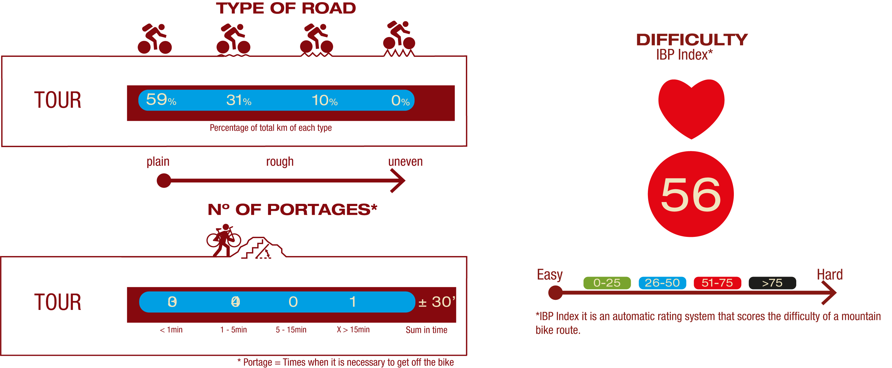
Cyclability
This Cyclostage corresponds to stages 4 & 5 of the Nature Trail
PROFILE

TYPE OF ROAD, PORTAGES & DIFFICULTY
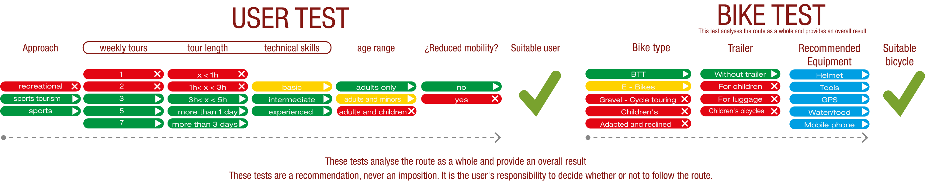
TEST
SAFETY RECOMMENDATIONS
- Sections shared with hikers.
- Transit through the centre of some population centres.
GENERAL RECOMMENDATIONS
- Find out about the technical aspects of the route and the weather on the day.
- Take care of the environment. Take care not to disturb animals or damage vegetation. Respect private areas.
- You must give priority to pedestrians and comply with general traffic rules.
- The environment in which you will be riding is open, free to move around and an area where many activities are carried out (sporting, forestry, livestock and agricultural activities). Always have an understanding, prudent, responsible and respectful attitude.