- Home
- Rural Development
- Nature Trails
- Nature Trails
- Central Sector
- Las Vegas del Guadiana
Vegas del Guadiana Greenway Nature Trail
Description
Through cranes and "dehesas"
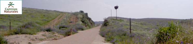
This route, which opened in 2007, links Villanueva de la Serena (Badajoz) with Logrosán (Cáceres). It runs along an old railway line that was meant to connect this area to Talavera de la Reina. The works were finally abandoned at the beginning of the Spanish Civil War. The 57.8 km layout offers travellers not only beautiful landscapes, but also the opportunity to get to know the largest wintering site for cranes, who each year travel from northern Europe to spend the winter in the best "dehesas" of the Iberian Peninsula.
Since 2001, this Nature Trail is managed and maintained by a consortium of municipalities. The consortium consists of town councils in Badajoz (Villanueva de la Serena, Don Benito, Navalvillar de Pela, Rena and Villar de Rena), local authorities with a reduced territorial scope (Palazuelo (Villar de Rena) and El Torviscal (Don Benito)), and town councils of Alia, Campolugar, Cañamero, Guadalupe, Logrosán and Madrigalejo in Cáceres.
Although the Trail has rest areas and is properly signposted throughout, and the pavement is adequate for bicycles and horses.
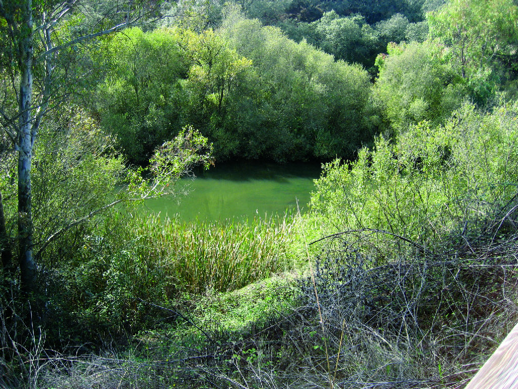
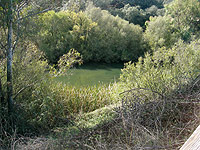
The Trail begins near Villanueva de la Serena train station, marching northwest along Jose Gallardo street and then paseo Castela. After one kilometre, near the crossroads of paseo Castelar an Prolongación Occidente, a slope allows the traveler to reach the old railway, refurbished as this Nature Trail and which run parallel to the modern train railway. The Trail passes under Ronda de la Hispanidad roundabout and crosses under the EX-A2-R2, and over canal to a small area with reeds (Phragmites australis).
A kilometer after having crossed the aforementioned canal, on reaching several private estates, it turns ninety degrees to the east, past a track, until it reaches another perpendicular track heading north, which comes from the left. The route continues between a number of houses and a garden center until it crosses the road BA-060. The Trail makes a lef turn, reaching again the old railway platform and the Guadiana Nature Trail. Turning right, the River Guadiana is crossed by a viaduct where there is an information panel describing the main features of this section of the Nature Trail.
The route now runs northwest, parallel to a paved road leading to the Sifón del Canal de Orellana. After corssing over EX-351 road by a walkway and next under N-430 road, the Trail leaves the old railway platform. A kilometer after, between olive groves and crops, the route finds again the platform, nearby Santa Rena Station.
Immediately after, the Trail crosses a bridge over the River Gargaligas, then passes under a three arch bridge near El Torviscal. This stretch of the route traverses a gentle agricultural landscape of cultivated fields. It crosses a canal and another three-arch bridge under the road to Palazuelo. Past Campo Lugar Station (KM 19.2), the landscape changes to dense holm oak (Quercus ilex) "dehesas", through which the Trail meanders parallel to the River Ruecas, until it crosses the Sifón del Canal de Orellana.
The route heads over the bridge across the River Ruecas, near the mouth of Pizarroso Brook, where once again the landscape is agricultural. Before reaching Madrigalejos Station (KM 29,913), it crosses the EX-378 by a footbridge, next to which is a rest area from where one can visit this town by road. First, one must cross again several "dehesas".
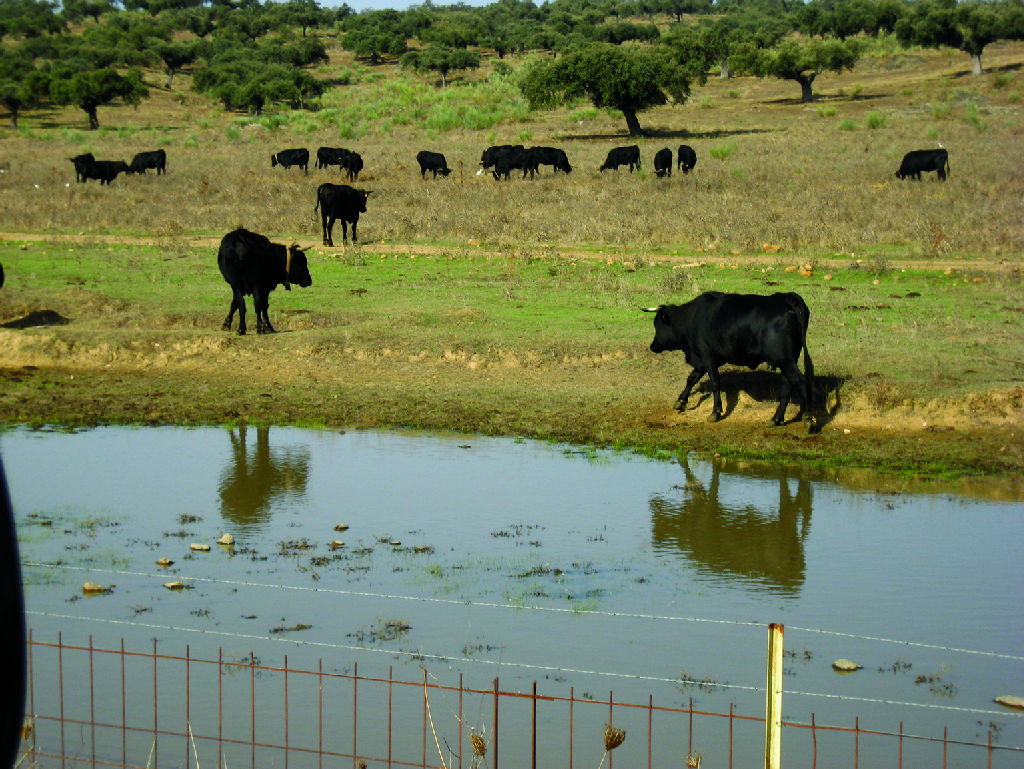
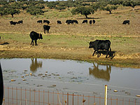
Leaving behind a livestock farm with a silo, the route continues amidst holm oaks and pastures with seasonal ponds used as watering holes by local livestock, storks (Ciconia sp.), cranes (Grus grus), and other birds.
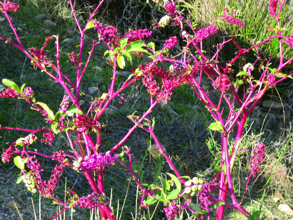
The Trail reaches Balsa de Hitos (KM 32), a pond built to store water for irrigation of the namesake farm, and where wetland birds such as waders can always be seen. Here, the landscape changes again from "dehesas" to fields of crops, followed by a broom copse, and again a vast "dehesa" that will accompany the route to the end point.
After crossing the Canal de las Dehesas, the route reaches Zorita-Lavadero Station (KM 41.28), from where the River Ruecas can be seen. The Nature Trail runs close to this river at several places. From this point on, River Ruecas and the Nature Trail run parallel for some kilometers. River Ruecas is left behinf for good near Ruecas reservoir, the route going on with the company of Grande creek.
From here, the route continues along the river for a few kilometres through a very homogeneous landscape, northwest of the town of Logrosán where, past a broom copse and meadows with shrub patches, the Nature Trail ends at the old station.
This station is also de starting point of Las Villuercas Nature Trail, which crosses Cáceres to the northwest.
Profile
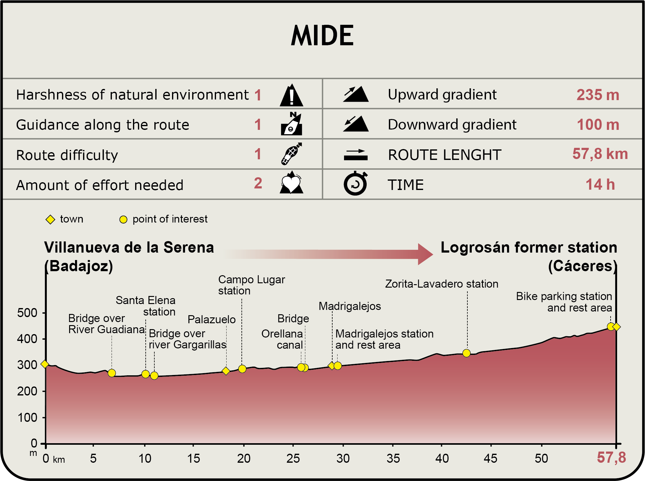
MIDE (Method for the Information of Excursions)
 Harshness of natural environment
- 1. The environment is not risk-free
- 2. There are more than one risk factors
- 3. There are various risk factors
- 4. There are quite a lot of risk factors
- 5. There are many risk factors
 Guidance along the route
- 1. Well defined trails and crossings
- 2. There is a clearly marked trail and signage
- 3. Requires the identification of geographic features and cardinal points
- 4. Requires off-path navigation
- 5. The trail is interrupted by obstacles that have to be gone around
 Route difficulty
- 1. Walking on a flat surface
- 2. Trails with different types of path
- 3. Walking on stepped paths or irregular terrain
- 4. The use of hands or jumping over the terrain is necessary
- 5. The use of hands is required to progress
 Amount of effort needed
- 1. Up to 1 hour of continuous walking
- 2. Between 1 and 3 hours of continuous walking
- 3. Between 3 and 6 hours of continuous walking
- 4. Between 6 and 10 hours of actual walking
- 5. More than 10 hours of continuous walking
Featured
Further information
Tesoro de Berzocana (Berzocana treasure)
Las Villuercas county is dotted by numerous archaeological sites, including the first settlements of Cañameros and Logrosán, dated from the Bronze Age, 3,000 years ago. The Tesoro de Berzocana, now in the National Archaeological Museum, is probably the most important finding. It consists of two Celt torcs, accidentally found by a shepherd in this municipality of Cáceres.
These two, large gold neck rings, elaborately decorated with diamonds, triangles and parallel lines, was found inside a bronze cup. It is believed that the local chieftains who ruled the land used them as a gift or token that was exchanged for cattle.
Dehesas of Campolugar and Madrigalejo
Each fall, the centennial "dehesas" of Campolugar and Madrigalejo become the wintering site of cranes from continental Europe. Up to 50,000 cranes have been documented.
These birds migrate from northern Europe in family flocks, flying in V-shaped formation, ready to eat their fill of seeds and fruits in this area during the winter months, only to fly back to their breeding grounds before spring.
Multimedia