River Tajo Nature Trail
Description
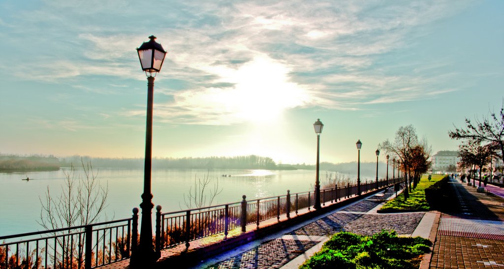
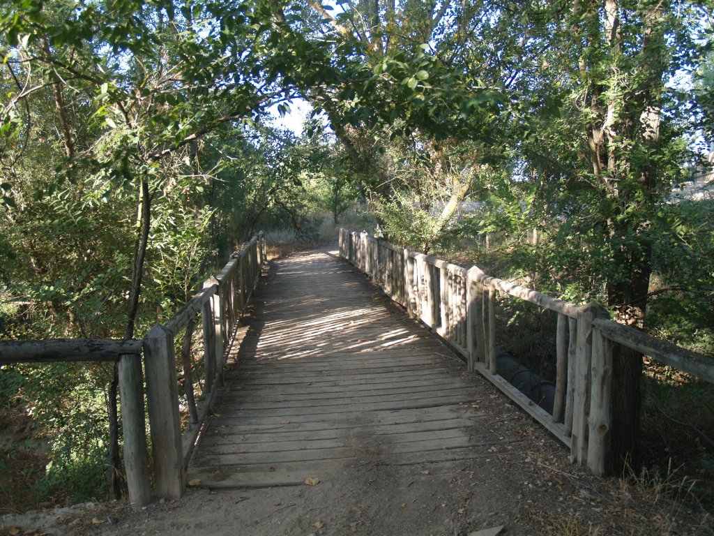
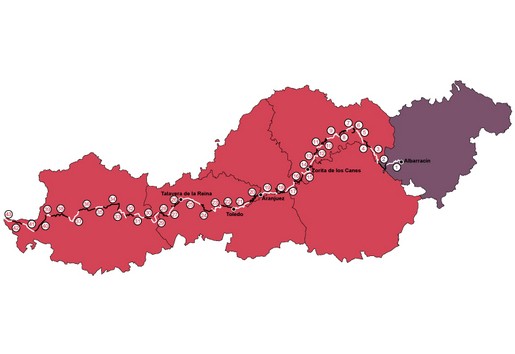
The river Tajo Nature Trail runs over 1,000 km along the banks of the longest river on the Iberian Peninsula. From its source in Montes Universales, in Sierra de Albarracín, to the Portuguese border in Cedillo, the Tagus traverses through a variety of landscapes and much of the history and culture of the Iberian hinterland, crossing east to west through the provinces of Teruel, Guadalajara, Madrid, Toledo and Cáceres. The Nature Trail has been designated as a long distance footpath (GR-113) by the Spanish Federation of Mountain Sports (FEDME).
Select a section:
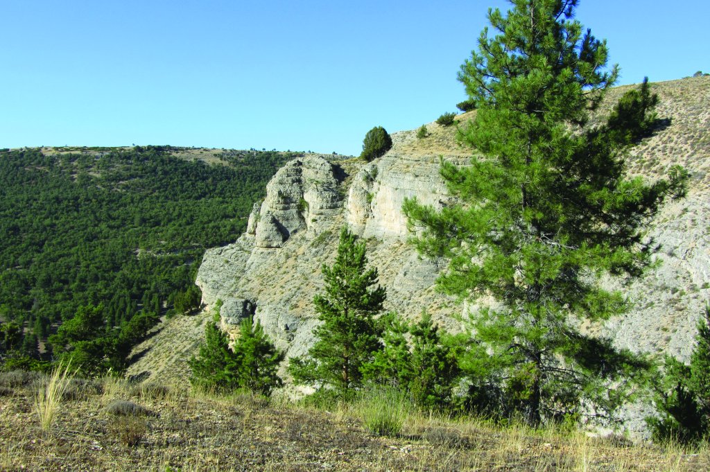
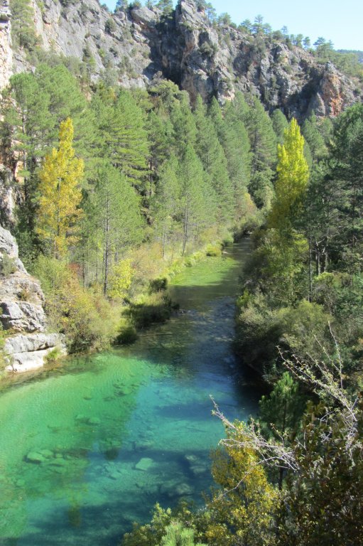
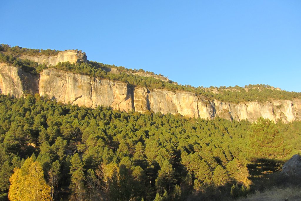
The Trail begins at Albarracín, near the headwater of the Tajo, and travels across the upper reaches of the river, along clean and rapid-flowing waters, through a mountain landscape dominated by cliffs and crags with juniper and pine forests. The valley floor is covered with large black pine woods, riparian forests, farmland and olive groves. These protected areas within the Alto Tajo Nature Park, are home to birds of prey such as the golden eagle, Bonelli's eagle, Egyptian vulture, and griffon vulture.
The route descends from the mountain to the plateau, where pine forests are replaced by oaks and junipers, and fields of wheat and barley. The vegetation has adapted to the harsh conditions of limestone scree and cliffs that flank the river. The cliffs, caves and grasslands, with their boundary markers, landmarks and embankments, are populated with a great diversity of habitats and species.
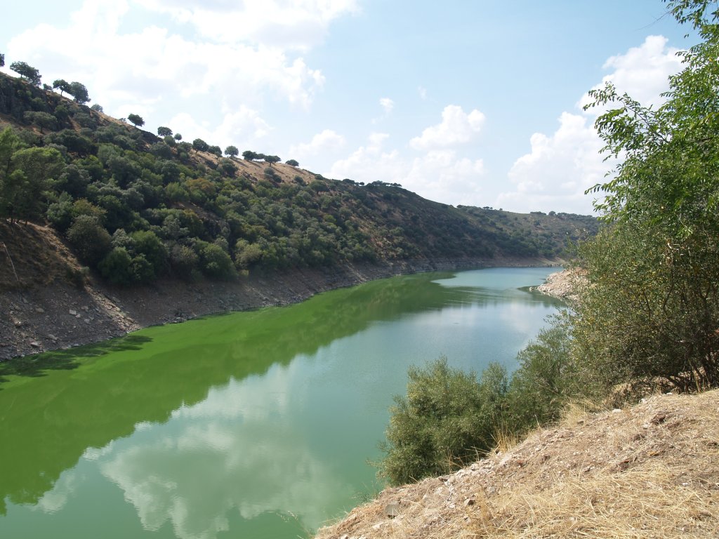
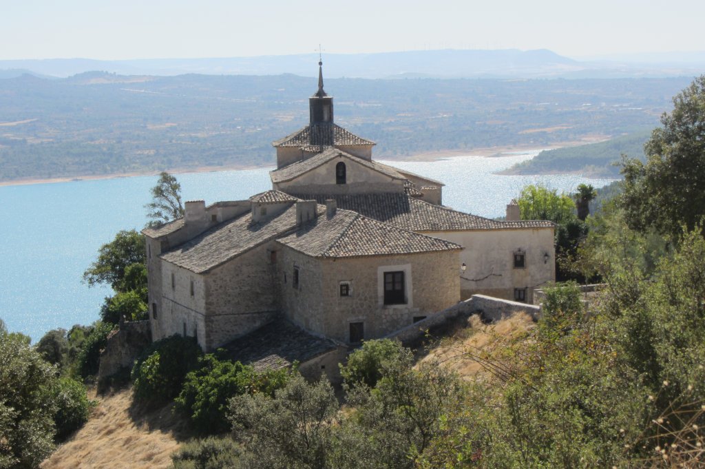
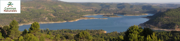
The meandering river and the tail of the Entrepeñas Reservoir lead the Trail through a rich river ecosystem, flanked by holm and gall oaks. From the reservoir to Bolarque waterfall, the landscape alternates between the valleys and ravines that surround the river Tagus and the plains studded with olive groves, colonised by rockrose and rosemary, walnut and fruit trees, vegetable gardens, pine, holm oaks and kermes oaks.
Leaving behind the reservoir and the impressive Boca del Infierno Gorge, the route passes through the copses of the River Tagus, with its agricultural landscape and unbroken horizon, flanked by hills that confine the river. In this mid-reach section, the river meanders through Castilian lands, leading to unique places like the outfall of Martín Roman Brook, a saline wetland carpeted with reeds and a tamarisk grove.
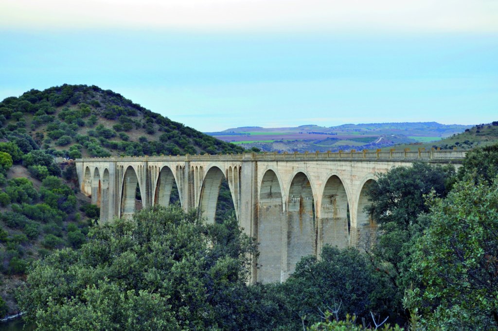
The route runs along the Tagus, through rolling hills among olive groves and fields of cereal, towards the spectacular Barrancas Ravine and Castrejón Reservoir, a true delight for bird watchers. It continues through grasslands, with a rich and diverse population of steppe birds, and riverbanks covered with ash groves, willows, and reeds, until it meets the Jara Greenway Nature Trail. This Trail runs along the tracks of a railway line to Azután Reservoir, crossing tunnels and a very tall bridge.
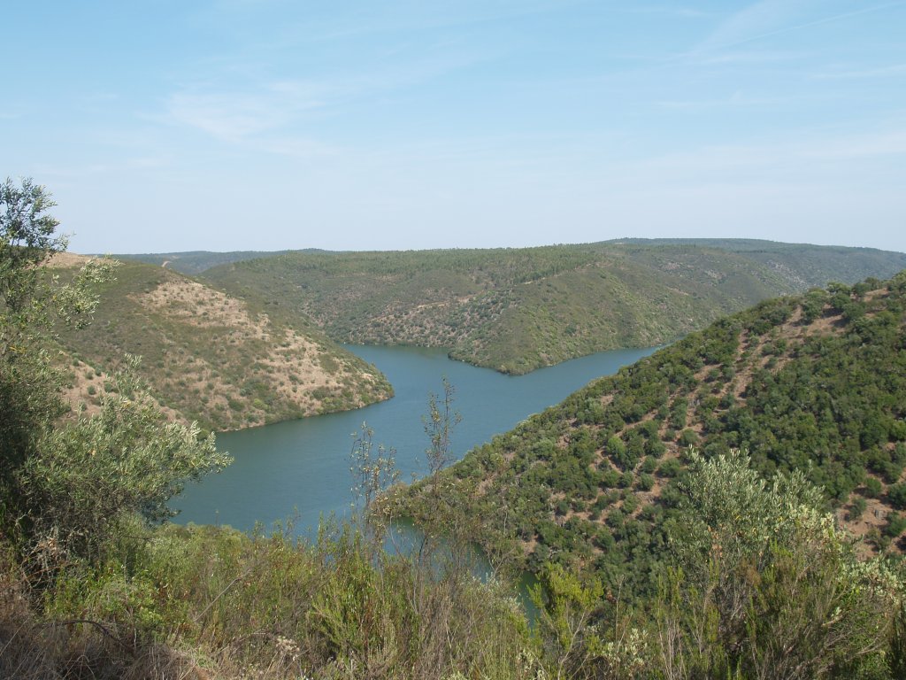
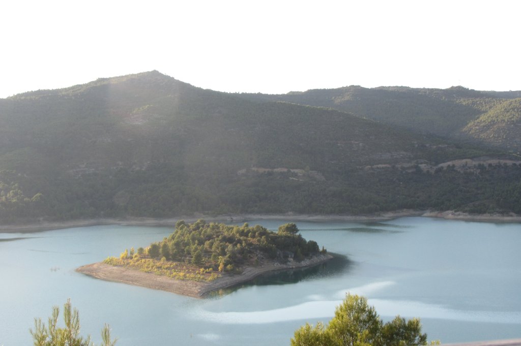
From here, the Trail descends to the Tagus plains, through holm oaks and granite blocks, crossing endless fields dotted with olive groves, almond trees and holm oaks, and across hunting preserves. It reaches Valdecañas Reservoir, with its islands, shallow water areas, riverbanks and rocky stretches, home to a rich diversity of wildlife.
From the reservoir and the Extremaduran “dehesa”, the route arrives at the area between Sierra del Frontal and Sierra del Campillo, whose landscape is dominated by Mediterranean sclerophyllous forests of cork and holm oak, with traces of Atlantic and continental vegetation, populated by a wide variety of raptors and mammals. This is Monfragüe National Park.
From the reservoir and the Extremaduran “dehesa”, the route arrives at the area between Sierra del Frontal and Sierra del Campillo, whose landscape is dominated by Mediterranean sclerophyllous forests of cork and holm oak, with traces of Atlantic and continental vegetation, populated by a wide variety of raptors and mammals. This is Monfragüe National Park.
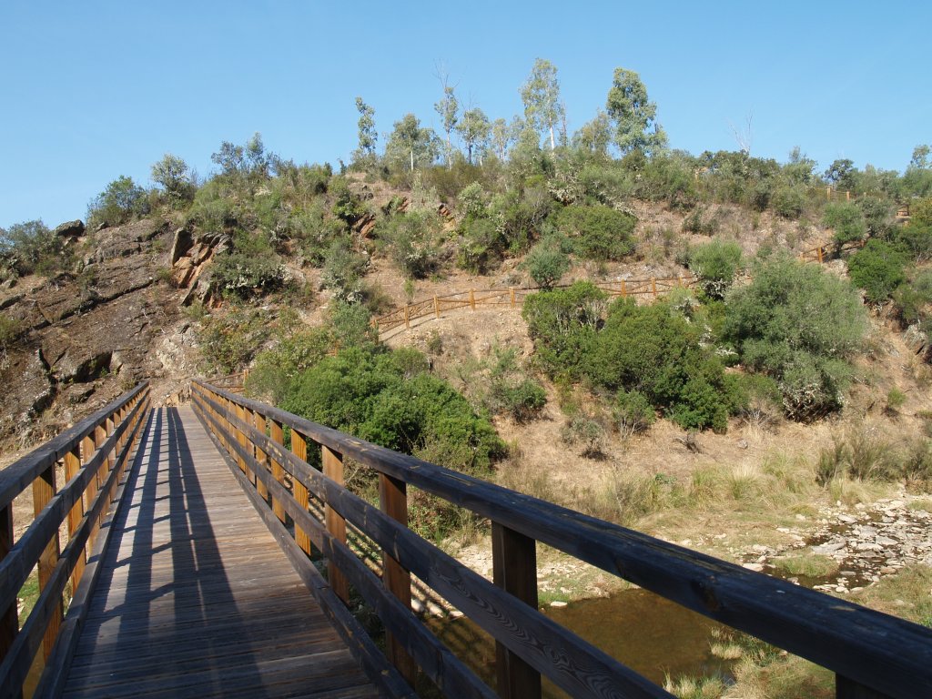
The route now approaches Rivera Aurela, notable for its cork oaks, holm oaks and riparian galleries. In the municipality of Cedillo, on the border with Portugal, ends the Trail. This is a very steep terrain where rivers, streams and riverbanks are confined within the International Tagus Nature Park. The typical vegetation found on its shaded slopes are holm and cork oaks, Laurustinus, evergreen privets, strawberry trees, wild olives, and mastic, whereas rockrose and holm oaks dominate the sunny slopes.
All these natural values can be found along the Trail, in the various protected nature areas through which the route traverses, including the Alto Tajo Nature Park, Sierra de Altamira, Tagus River at Castrejón, Islas de Malpica de Tajo y Azután; Rivers on the left bank of the Tagus River and Berrocales del Tajo; Valdecañas Reservoir; Carrizal de Villamejor Nature Reserve; Sierra de las Villuercas and Guadarranque Valley; Monfragüe National Park; Canchos de Ramiro y Ladronera; Alcántara Reservoir, Lesser kestrel colonies at Garrovillas; Pinares de Garrovillas; International Tagus Nature Park; Llanos de Brozas; Llanos de Alcántara and Brozas; International Tagus River y Riberos; Ribera de Membrío; Sierra de San Pedro Area of Regional Interest; Rivera Aurela; Cedillo and International Tagus River.
These natural values are complemented by the historical, cultural and ethnographic values found along the Trail, such as monumental cities, archaeological sites, castles, shrines and churches.
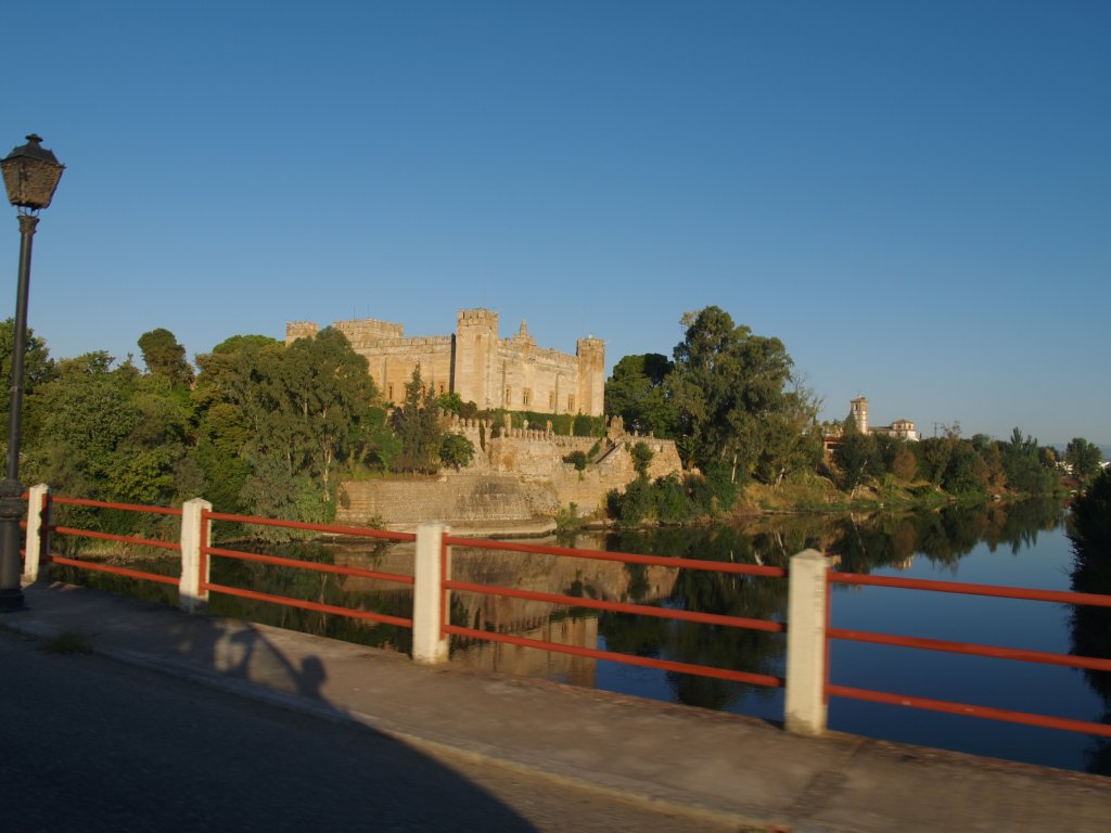
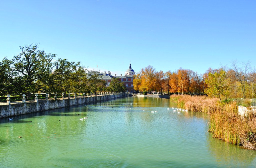
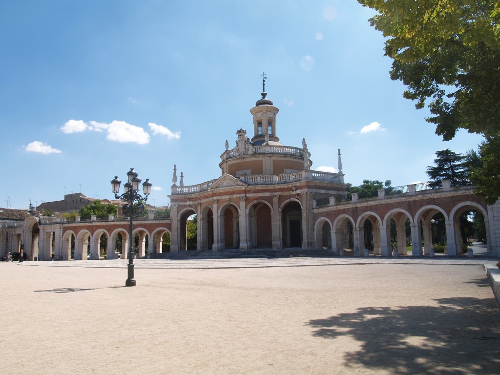
The route also traverses through some the most important historical cities of the Iberian Peninsula, including the Real Sitio y Villa de Aranjuez, the imperial city of Toledo, Talavera de la Reina and Alcántara. There are also several convents and monasteries of great cultural and historical value like the Cistercian monastery of Buenafuente del Sistal or the convent of San Benito, as well as many churches and shrines that flank the route, alongside numerous castles such as Fuentiduenya, Montalbán, Malpica, Villalba and Monfragüe.
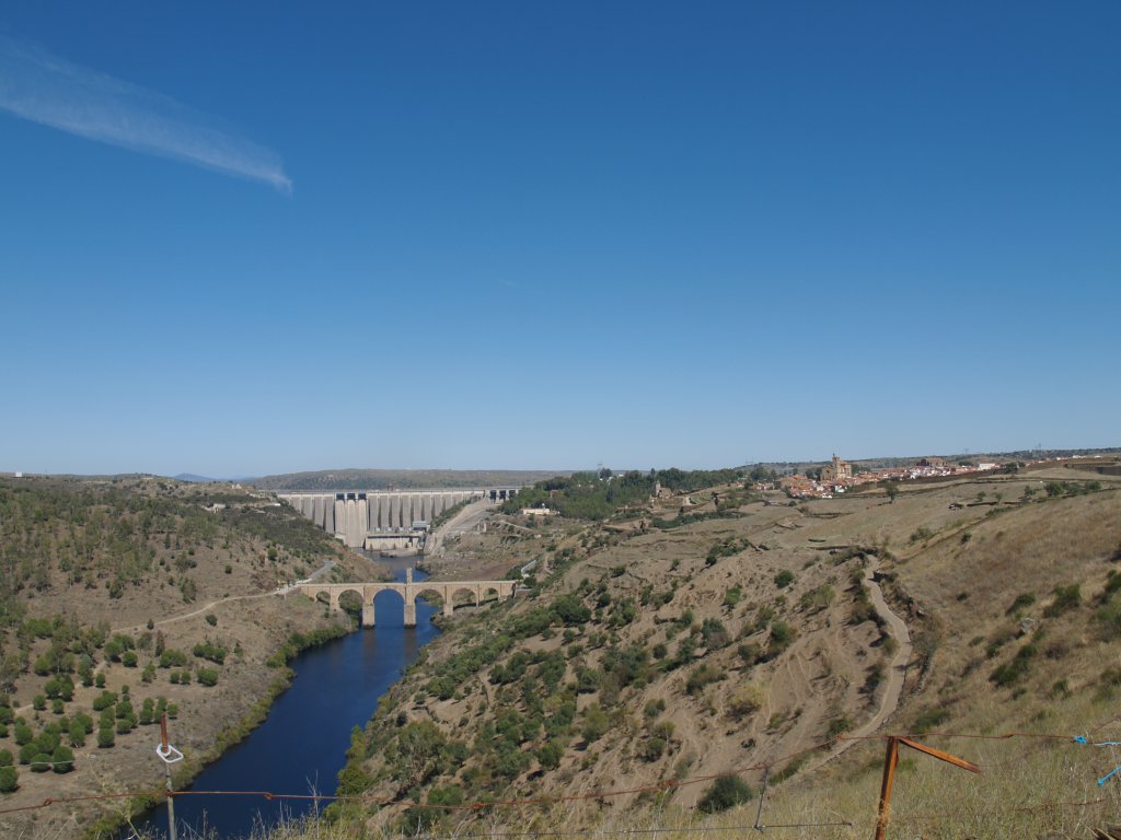
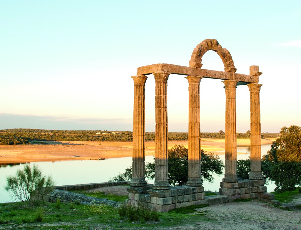
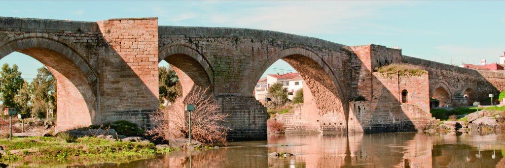
The route also crosses several bridges, some of which are medieval or Roman, like the bridges of Alcántara and Alconétar, and runs along parts of the Roman road in places like the river Uso. Multiple archaeological sites uncover the early history of the Iberian Peninsula, through cave paintings from the early third millennium B.C. to the fifth century B.C.; prehistoric engravings at Peña Castillo; numerous dolmens, anthropomorphic tombs and palaeo-Christian and late Roman tombs; and the Visigoth ruins of Recópolis.
Sites of interest
- Confederación Hidrográfica del Tajo
- Gobierno de Aragón
- Gobierno de Castilla-La Mancha
- Comunidad de Madrid
- Junta de Extremadura
- Geoparque Villuercas, Ibores, Jara
- Parque Natural del Alto Tajo
- Parque Nacional de Monfragüe
- Portal Tajo Internacional
- Centro de interpretación de Recópolis, Zorita de los Canes
- Proyecto TRANSLANA
Multimedia