- Home
- Rural Development
- Nature Trails
- Nature Trails
- Central Sector
- Los hayedos y robledales de Riaza
Riaza beech and oak forests Nature Trail
Description
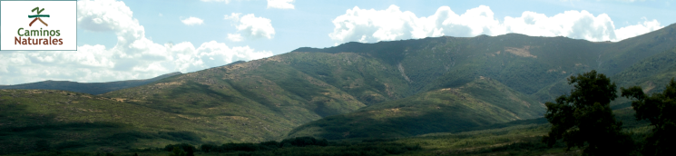
In the Ayllón Range
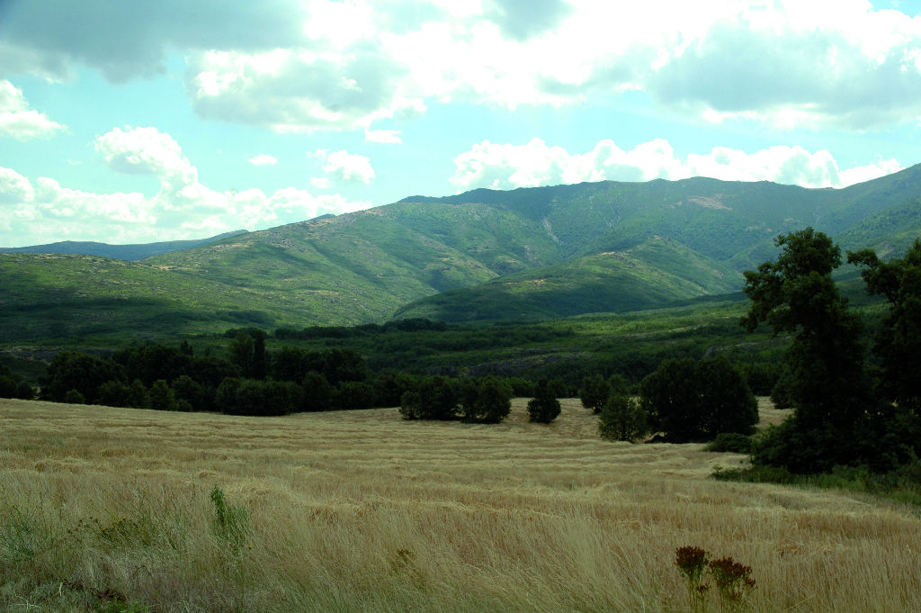
This Trail consists of seven loop routes along forest tracks that primarily traverse through oak forests. It is always good practice to keep a topographic map of the area, as the routes run at mid-mountain level, and one may become disoriented due to bad weather or signs that may go unnoticed in the undergrowth.
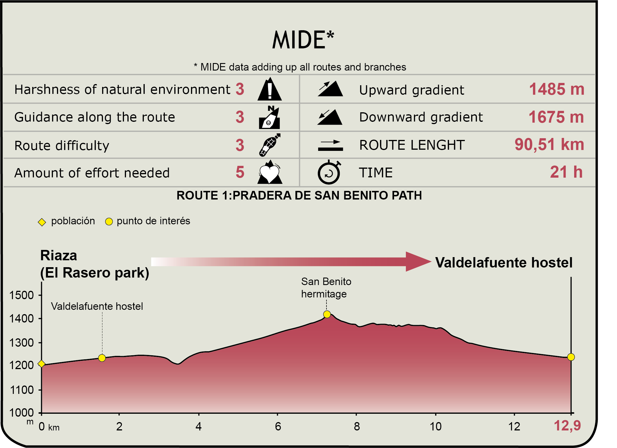
Route No. 1. Meadow trail to San Benito’s shrine
The route starts at Riaza bus station towards Riofrío. It turns immediately towards Albergue de Valdelafuente, and continues through an oak forest, which is, like all other forests in the area, recovering from centuries of logging for charcoal and firewood.
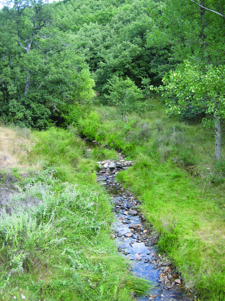
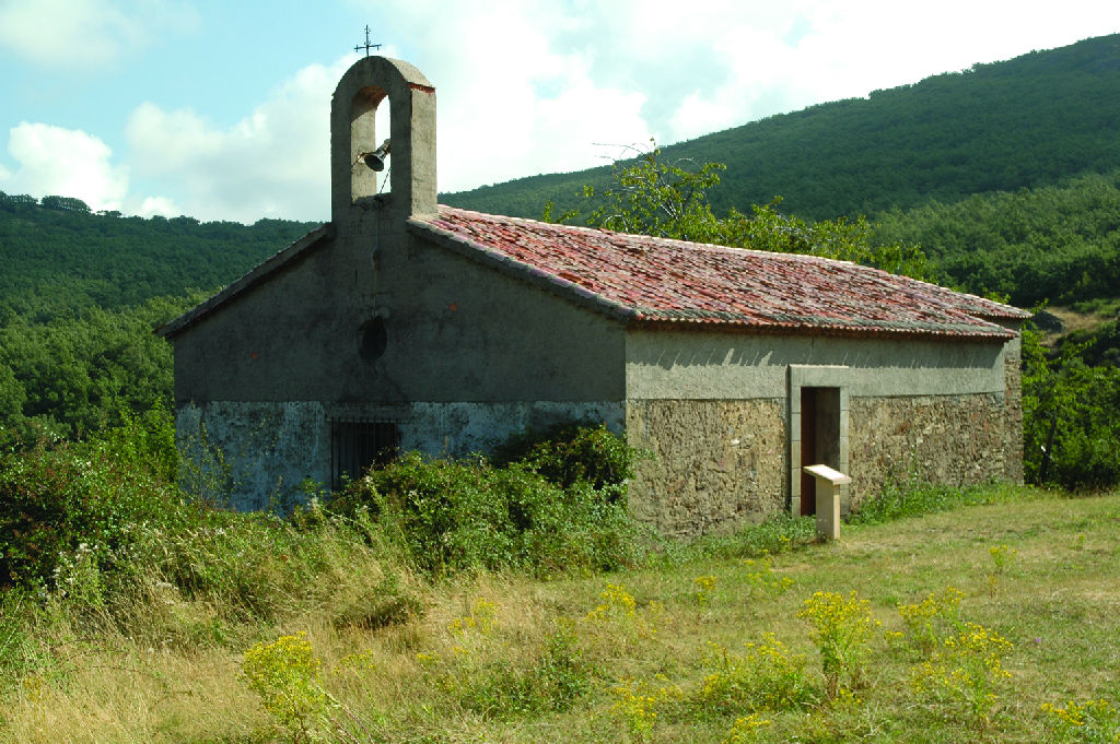
The first section of the route, through meadows and forests, ends at the shrine and the adjacent picnic area and fountain. Shortly before the shrine, another branch crosses the SG-114, Riofrío-La Pinilla road, which heads into a dense oak forest accessed through a gate. Further on is a wire gate and fence, along which a narrow path runs parallel in slow descent towards the road to La Pinilla, very close to the intersection with SG-111, Riofrío-Riaza road. After crossing the road, the Trail continues straight ahead through meadows and oak forests back to Albergue de Valdelafuente.
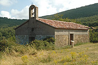
Route No. 2. Hontanares Shrine and Piedras Llanas Viewpoint
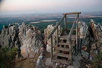
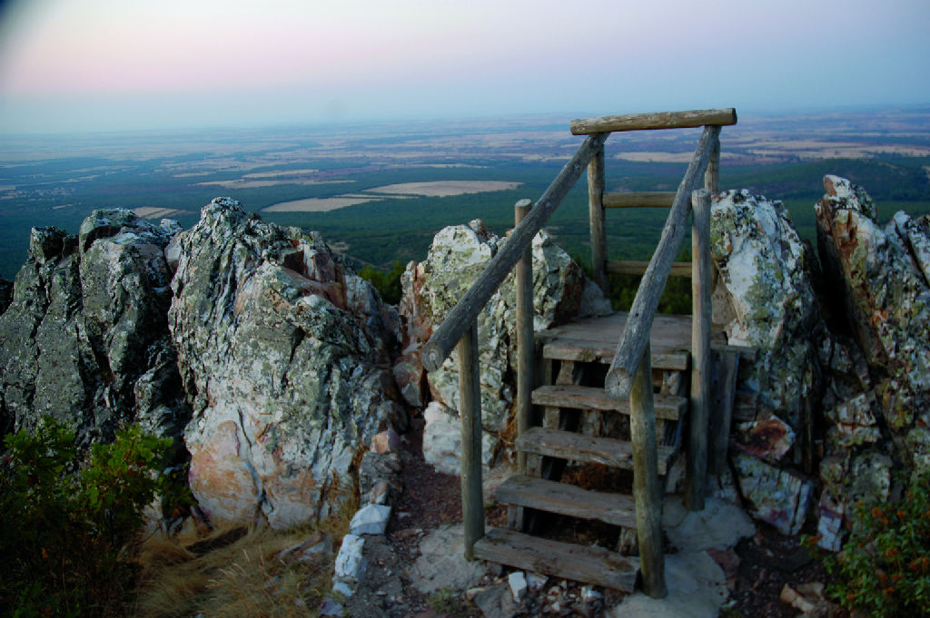
The route starts at the first roundabout that crosses Route No. 1, direction Riofrío. After leaving the village, it continues downhill to the river, crosses a footbridge and continues along a dirt road that passes through hillside pastures. When the track narrows and enters the oak forest, the route continues along another uphill track leading to a fenced area with a cattle guard, from where it continues to Hontanares shrine. Yet another track leads to Piedras Llanas Viewpoint, with spectacular views of the high moorland. Leaving Hontanares behind, the Trail descends parallel to the road until it reaches SG-V-1111, which goes back to Riaza.
Route No. 3. Riofrío Trail
The route starts at the trail head of Route No. 2, at the intersection of Santiago Apóstol and Carretera Vieja de Riofrío. Leaving the last houses behind, the route runs along a dirt road, which turns into a footpath after crossing a rustic footbridge, and descends to the river Riaza. It continues along a forest track towards Riofrío. After visiting the village, this route continues to Pradera del Collado, from where it goes back to Riaza via a section shared with Route No. 2. If one continues straight ahead, the track will arrive at Hontanares Shrine.
Route No. 4. La Hiruela and La Cuerda Trail
The route starts at Piedras Llanas Viewpoint (Track No. 2). Slightly before the path to the viewpoint, there is a closed gate next to the track. After crossing the gate, the Trail descends through oak trees until it reaches a firebreak, along which it continues to descend to another firebreak that passes through a crop field inside an oak forest. From here, the path leads straight to Martín Muñoz de Ayllón. This section has the best views of Sierra de Ayllón. One of the loop routes included in Route No. 5 leads to Becerril.
Route No. 5. Red and Black Villages Trail
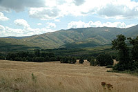
These are a number of loop routes between the villages of Martín Muñoz de Ayllón, Becerril, Villacorta, Serracín, Madriguera, El Muyo and El Negredo, including a climb to Collado del Puerto de los Infantes. The paths, occasionally boxed-in, run through the hills and valleys of the Sierra de Ayllón foothills, crossing oak forests, grasslands, thickets and farmland.
The hike up the Collado is the most challenging. It ends in juniper forests and mountain meadows, with views of the opposite side of the range in Guadalajara. Valdebecerril peak can easily be crowned from here, to continue onwards towards Tejera Negra Nature Park.
Route No. 6. La Tejera Trail
This loop route passes through the so-called red and black villages. It links Martín Muñoz with Villacorta, skirting around Cabeza Zulema hill, and traversing a small stand of yews in the River Vadillo. The final section is a fishermen's track near Ferrería Mill, currently converted into a rural lodging.
Route No. 7. Bicycle and Sports Circuit
This circuit, suitable for people with physical disabilities, starts at Rasero Park in Riaza, and runs parallel to the former N-110, towards the municipal pool. It passes next to the campsite and survey point of Sanguijolero, then returns to the village, skirting around Los Llanos meadow.
Sites of interest
Profile
MIDE (Method for the Information of Excursions)
 Harshness of natural environment
- 1. The environment is not risk-free
- 2. There are more than one risk factors
- 3. There are various risk factors
- 4. There are quite a lot of risk factors
- 5. There are many risk factors
 Guidance along the route
- 1. Well defined trails and crossings
- 2. There is a clearly marked trail and signage
- 3. Requires the identification of geographic features and cardinal points
- 4. Requires off-path navigation
- 5. The trail is interrupted by obstacles that have to be gone around
 Route difficulty
- 1. Walking on a flat surface
- 2. Trails with different types of path
- 3. Walking on stepped paths or irregular terrain
- 4. The use of hands or jumping over the terrain is necessary
- 5. The use of hands is required to progress
 Amount of effort needed
- 1. Up to 1 hour of continuous walking
- 2. Between 1 and 3 hours of continuous walking
- 3. Between 3 and 6 hours of continuous walking
- 4. Between 6 and 10 hours of actual walking
- 5. More than 10 hours of continuous walking
Featured
Further information
Riaza and the Coloured Villages
Riaza is a medieval mountain village on the northern slope of the Ayllón massif, halfway between Segovia and Soria, and well connected with the capital. In recent years, it has gradually regained its former relevance due to the excellent natural conditions of its environment which attract an increasing number of rural and mountain tourists.
The small villages in eastern Riaza, with their earthen or cobblestone streets, captivating places, and distinct architecture made of natural stone, retain their rural charm. One would be hard-pressed to say which one is the more spectacular: the red villages ( so called because of the high ferrous content of the local clays and stones, which gives its buildings a dominant red colour) like Villacorta and Madriguera, or the black ones (in this case, the colour it's due to the slate being the main building material) the like El Muyo, or maybe the "black and red" villages like Serracín. It should not be forgotten that there are also a few yellow villages. They are simply different; a true delight.
Multimedia