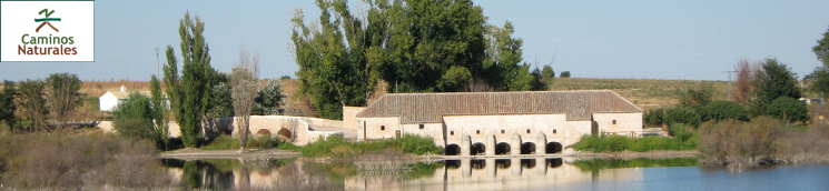
Stage 6: Villarrubia de los Ojos - Santuario de la Encarnación
Description
Through Tablas de Daimiel
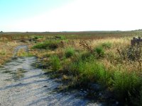
The Trail runs through large expanses of farmland that alternate with marsh vegetation (reeds, bulrushes, rushes and limonium) when the River Guadiana rises to merge with the River Cigüela, creating the Tablas. The Tablas are a network of impoundments and flooded areas that play host to a wide variety of migratory and wintering bird species.
The Stage starts on Charcazo Street at Villarrubia de los Ojos, leaving the town behind on its way to Daimiel. Extreme caution should be exercised as the Trail shares this stretch with motorised vehicles. Past two roundabouts, the route heads towards the River Cigüela.
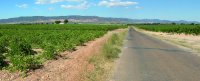
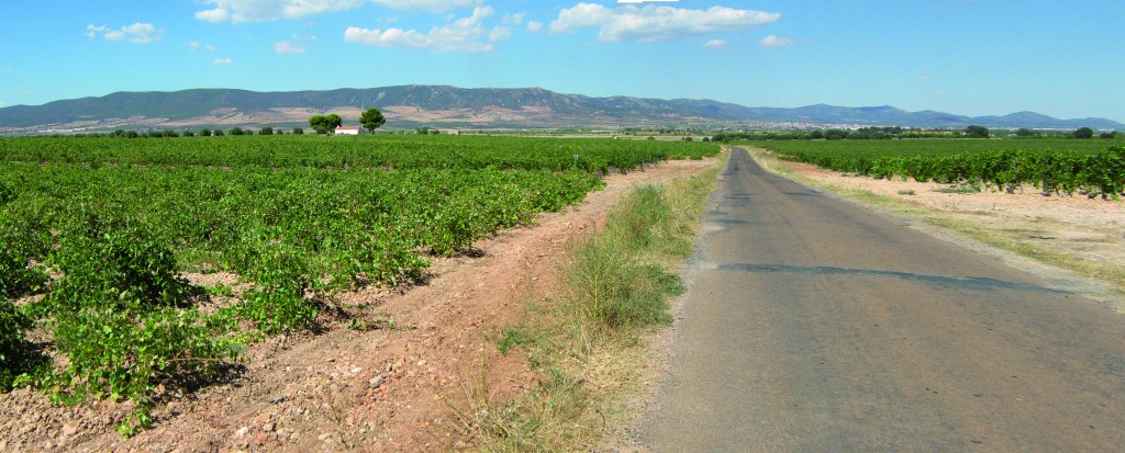
After crossing the bridge on the River Cigüela, the route arrives at Tablas de Daimiel National Park buffer zone. The landscape here consists of vineyards, the main crop in this area, which play host to many species endemic to this ecosystem.
The Trail continues along a paved road to an intersection where it can go one of two ways: to the right to Tablas de Daimiel, or left to Ojos del Guadiana.
Branch to Ojos del Guadiana
If one takes the road to the left leading to Ojos del Guadiana, the Trail ventures through large areas of gently rolling agricultural land covered with cereal crops and vineyards. Further on is a signposted junction. The right path leads to the River Guadiana, located about 400 m away, and the left path continues to Ojos del Guadiana.
Further down the left path is a crossroads where one must again turn left. This branch continues straight ahead until an overpass on the CA-201, where signs indicate the way to Ojos del Guadiana, located three kilometres away. The path continues straight ahead, until it reaches a T-junction, where it turns right towards Ojos del Guadiana.
The Ojos del Guadiana are natural upwellings of groundwater that flow 26 km underground. The deepest spring, 22 m long and 19 m wide, with a remarkably abundant flow, is called Ojo de Mari-López. It is currently covered in vegetation.

Past the Peñarroya Reservoir, the River Guadiana runs through a field that opens drastically onto the vast La Mancha plain, where it begins to disappear amongst reeds (Juncus sp.) and bulrushes (Typha dominguensis), as the water trickles underground through the cracks and pores in the rock. The water circulates within aquifer system 23, also known as La Mancha Occidental. The water rises again at Villarrubia de los Ojos through natural fractures which are called mouths or Ojos del Guadiana (Eyes of the Guadiana).
Main Branch of the Stage
The Tablas de Daimiel National Park Information Centre can be reached by taking the path leading to Tablas de Daimiel, and then turning right on the road to the centre. However, the Stage turns to the left, crossing a bridge over the River Guadiana River where the restored Molemocho mill stands. One can book a guided tour to the mill at the visitors' centre.
Immediately after crossing the bridge, the route turns right towards Alarcos-Calatrava Archaeological Park and Tablas de Daimiel National Park. Signs along the road alert that it is shared with motorised vehicles for 13.4 km.
The Trail runs parallel to Tablas de Daimiel, formed as a result of overflows at the confluence of the rivers Guadiana and Gigüela, which fan out across the flat terrain.
The route arrives at a junction with a farm road where it continues to the left. After about 350 m, it reaches an overpass on the CM-4114, from where one can see, to the right, a mill next to the Navarro Bridge that crosses the Tablas.
The route continues straight ahead, parallel to the Tablas, towards Calatrava Castle through cornfields. Past an area under olive groves, vineyards and cereal, the path arrives at another crossroads, where it turns right towards an overpass on the CR-P-2121, where it turns left.
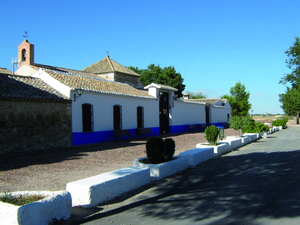
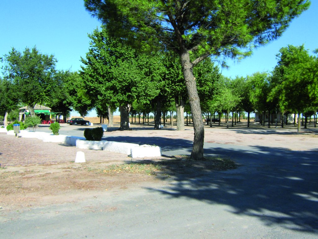
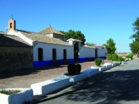
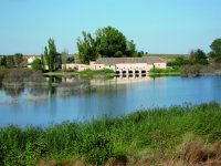
After travelling a good way down the Trail without straying, there is another intersection where the route turns right, skirting around a livestock. From here, it continues for about 800 metres towards the Sanctuary of Nuestra Señora de la Encarnación, the endpoint of this Stage. There is a rest area, close to Calatrava Castle, with benches, tables, picnic area, barbecues, fountains, etc.
Sites of interest
Profile
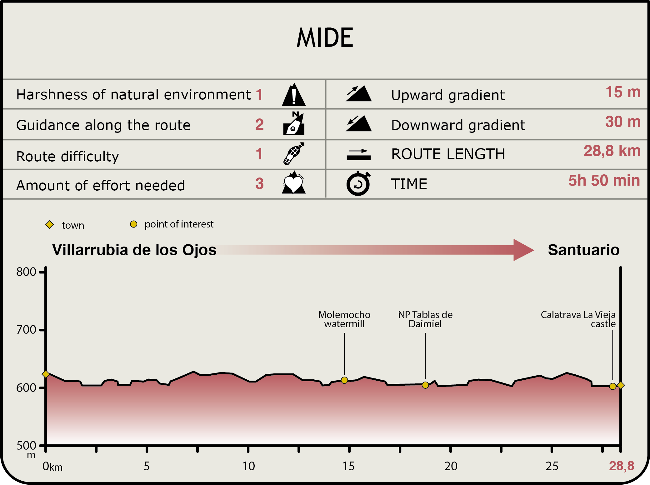
MIDE (Method for the Information of Excursions)
 Harshness of natural environment
- 1. The environment is not risk-free
- 2. There are more than one risk factors
- 3. There are various risk factors
- 4. There are quite a lot of risk factors
- 5. There are many risk factors
 Guidance along the route
- 1. Well defined trails and crossings
- 2. There is a clearly marked trail and signage
- 3. Requires the identification of geographic features and cardinal points
- 4. Requires off-path navigation
- 5. The trail is interrupted by obstacles that have to be gone around
 Route difficulty
- 1. Walking on a flat surface
- 2. Trails with different types of path
- 3. Walking on stepped paths or irregular terrain
- 4. The use of hands or jumping over the terrain is necessary
- 5. The use of hands is required to progress
 Amount of effort needed
- 1. Up to 1 hour of continuous walking
- 2. Between 1 and 3 hours of continuous walking
- 3. Between 3 and 6 hours of continuous walking
- 4. Between 6 and 10 hours of actual walking
- 5. More than 10 hours of continuous walking
Featured
Further information
Tablas de Daimiel National Park
Las Tablas de Daimiel has been declared a National Park, Biosphere Reserve, Ramsar Wetland of International Importance, Special Protection Area for Birds (SPA) and Site of Community Importance (SCI).
It is one of the most important flood plains of La Mancha, owing to the confluence of two different types of rivers: River Cigüela, seasonal and brackish, and River Guadiana, permanent and freshwater. The Tablas host a wide variety of flora and fauna, especially waterfowl. It is considered a site of world-class importance owing mainly to its sizeable populations of wintering Gadwalls (Anas strepera) and Red-crested Pochards (Netta Rufina).
The dominant aquatic vegetation is Zannichellia pedunculata, and Ruppia maritima in more brackish waters. There is also an abundance of floating buttercups.
There is also abundant halophytic vegetation, including saw grass (Cladium mariscus), common reed (Phragmites australis), and bulrush (Typha latifolia and T. dominguensis) as well as alkali bulrush thickets (Scirpus maritimus).
The predominant tree species is the tamarisk (Tamarix canariensis). The presence of water and dense vegetation contribute to the high biodiversity of Tablas de Daimiel, in particular waterfowls, including Mallards(Anas platyrhynchos), Northern Shovelers (Anas clypeata), Gadwalls, Ferruginous Ducks (Aythya nyroca) and Red-crested Pochards.
Multimedia