Stage 26: Valdivia - Villanueva de la Serena
Description
Through Extremadura's Vegas Altas
This Stage traverses through green irrigated fields and bathing areas in the River Guadiana and its tributary, the Zújar. This unique route ventures through sites of enormous ecological importance: biodiversity reserves in areas drastically affected by human activity. The river valley is the backbone of the landscape.
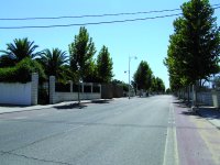
The route crosses two rivers: the Guadiana and its tributary, the Zújar. Between them lies the town of Entrerríos, unique in that it has a circular urban layout; the only of its kind in the Vegas Altas. The area owes its agricultural wealth to the River Guadiana and major hydraulic infrastructures like canals and irrigation ditches.
This territory is a treasure trove of unique natural values. On the one hand, there are still a few pockets of beautiful dehesas, Mediterranean and riparian forests well worth a visit. These sites have enormous ecological importance as biodiversity reserves in an area drastically affected by human activity. In fact, part of this Stage traverses through the “Río Guadiana Alto – Zújar” SCI (Site of Community Importance).
The common denominator throughout the route is the proximity of the River Guadiana and the agricultural use of the irrigated land. One can also visit some urban centres of great importance that have seen their population grown in this century. The traveller will witness the contrast between vast fields of corn, olive groves, fruit trees, vineyards and rice paddies and magnificent oak trees on dehesas where sheep graze.
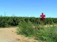
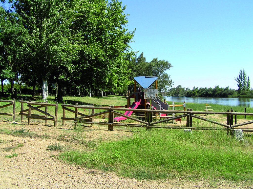
The River Guadiana is the central element of the landscape and the way of life of farmers, who have seen their livelihood improve owing to the vast expanses of irrigated land. The riparian lands and areas contiguous to the river and its tributaries abound in bird and game species; an ideal place with countless bathing areas where fishing and water sports enthusiasts can practice different activities.
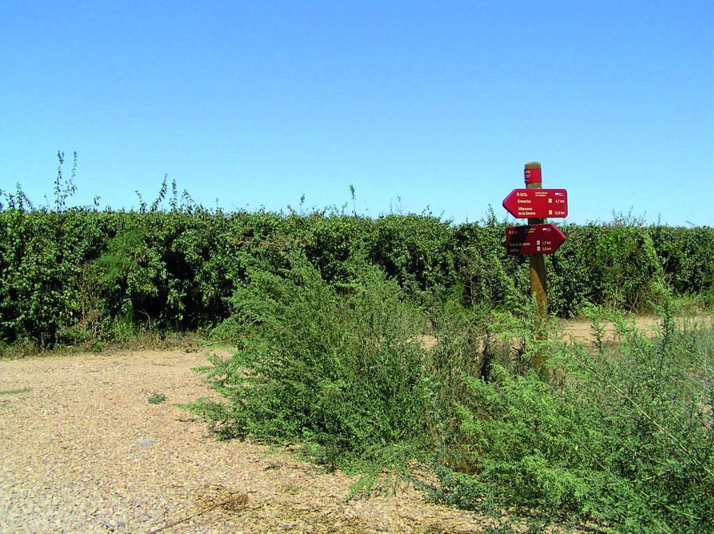
The Trail starts in the town of Valdivia, along the path shared with Stage 25. It heads towards the turn-off at the signposted junction, with a rest area and picnic tables on the bank of the River Guadiana. From here, it continues left along the right bank of the Guadiana to Entrerríos, the next place of interest in this Stage.
The route turns 90° to the right where the two branches of the River Guadiana reunite. The flow increases substantially at this point. It then turns left to merge with the Camino de Villanueva de la Serena towards Entrerríos. This road skirts around Trompeta Island, a land mass surrounded by a new branch of the River Guadiana.
The Stage now heads towards the narrow mountain pass of Camino de Pela, where the River Guadiana is divided again into two branches. The route crosses the first branch, and then continues across the island towards the other branch of the river.
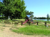
The Trail retraces its steps for about 700 m along the left bank of the river, and then turns right towards the road leading to Entrerríos. There are a couple of places were the traveller can rest: in the town itself or at Entrerríos beach, a naturalised site with a rest area, located on the right bank of the River Zújar, 200 m from the town.
One can also take an alternative route that runs parallel to the River Zújar along its north side. The route is classified as medium-high difficulty, as it may be flooded in the rainy season. The route ventures forth from the rest area into a Stage where river lagoons hamper access. It continues until it crosses the River Zújar via a road bridge or the Camino Real de Esparragosa.
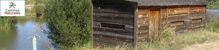
After crossing the bridge on the river, the main route runs along the left bank (south side) of the River Zújar, which may be flooded. A sign warns of this possibility. The route ahead is difficult to walk; however, it is well worth the effort, as the two bird observatories along the way will delight any person that enjoys bird watching. One can also view the ruins of a water mill.
The main and alternative routes merge on the opposite side of the Esparragosa Bridge, at the edge of Villanueva de la Serena, where the Stage ends. Sections 26 and 27 end and start here, respectively, on the road to Entrerríos.
Sites of interest
Profile
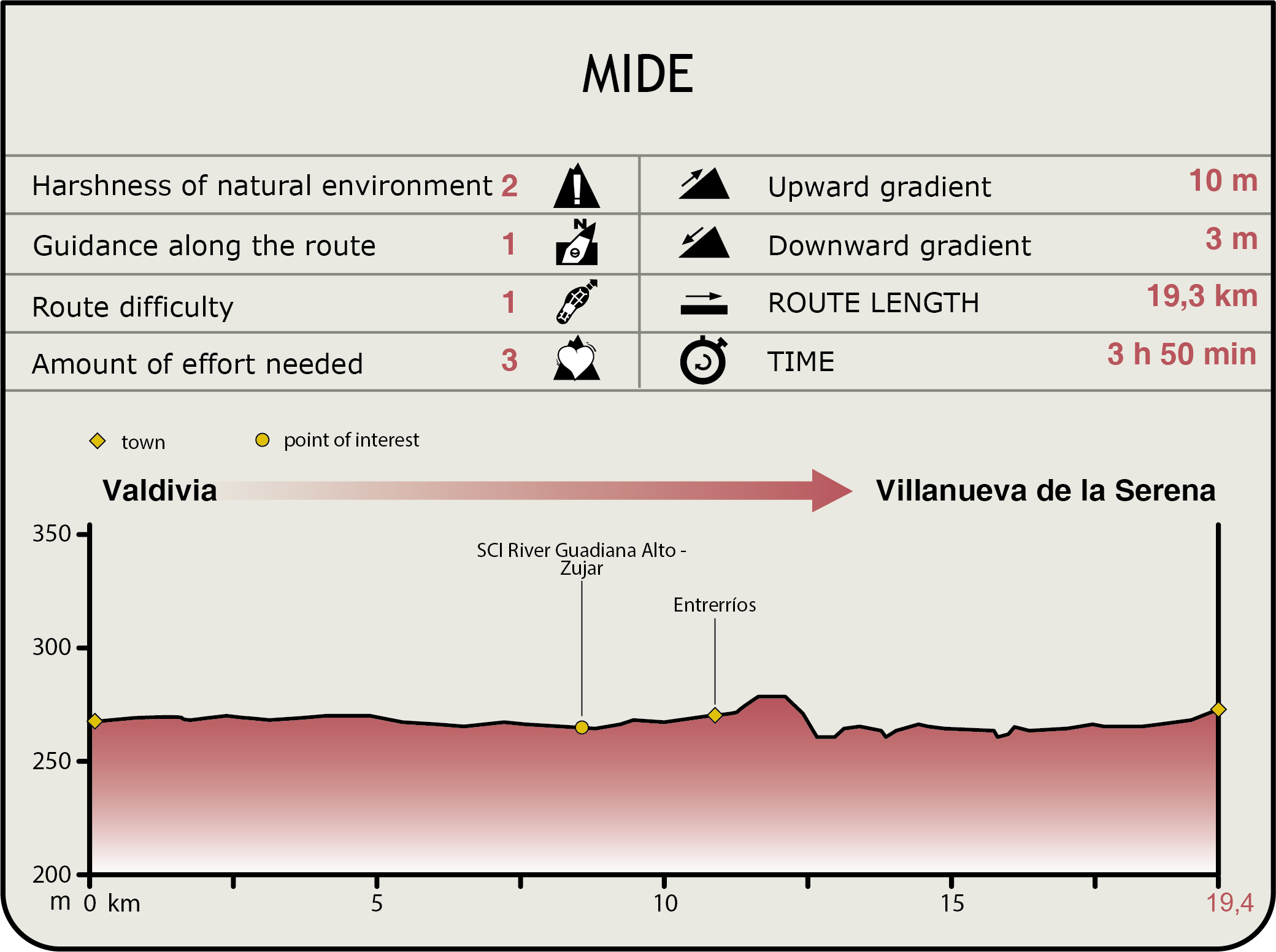
MIDE (Method for the Information of Excursions)
 Harshness of natural environment
- 1. The environment is not risk-free
- 2. There are more than one risk factors
- 3. There are various risk factors
- 4. There are quite a lot of risk factors
- 5. There are many risk factors
 Guidance along the route
- 1. Well defined trails and crossings
- 2. There is a clearly marked trail and signage
- 3. Requires the identification of geographic features and cardinal points
- 4. Requires off-path navigation
- 5. The trail is interrupted by obstacles that have to be gone around
 Route difficulty
- 1. Walking on a flat surface
- 2. Trails with different types of path
- 3. Walking on stepped paths or irregular terrain
- 4. The use of hands or jumping over the terrain is necessary
- 5. The use of hands is required to progress
 Amount of effort needed
- 1. Up to 1 hour of continuous walking
- 2. Between 1 and 3 hours of continuous walking
- 3. Between 3 and 6 hours of continuous walking
- 4. Between 6 and 10 hours of actual walking
- 5. More than 10 hours of continuous walking
Featured
Further information
The Order of Alcántara
The origin of this town, the capital of Vegas Altas, can be traced back to the Order of Alcántara. This town saw rapid development since the sixteenth century, and is now one of the most populous and influential in Lower Extremadura. Villanueva de la Serena is almost certainly the birthplace of the conqueror of Chile, Pedro de Valdivia, although nearby towns dispute this claim.
The Church of Nuestra Señora de la Asunción is a Gothic building dating back to the late fifteenth century. The temple was extended owing to rapid growth of population and presence of religious and administrative bodies in the town. The building was not completed until the mid-seventeenth century, when the temple was capped with a large stone tower.
The walls are made mostly of masonry, with the elegance and rigour of the Herrerian style. During the Spanish Civil War, a fire destroyed the interior of the temple. The popular “La Carrerita” procession takes place outside this parish church during the Holy Week (Easter), in which the bearers of the Virgen de la Aurora float run towards the float with the image of the Resurrected Christ.
La Encomienda Castle is located about eight kilometres down the road from Valdivia. Built on the ruins of the Muslim Mojáfar Castle, it was used by the Commanders of the Order of Alcántara as their residence. It is extremely well-preserved. It has three defensive enclosures with square and round towers.
Multimedia