- Home
- Rural Development
- Nature Trails
- Nature Trails
- Canary Islands Sector
- Órzola a Playa Blanca
Stage 3: Teguise-San Bartolomé
Description
Beautiful Teguise gives way to the plains of El Jable, this short stage then coming to an end at San Bartolomé
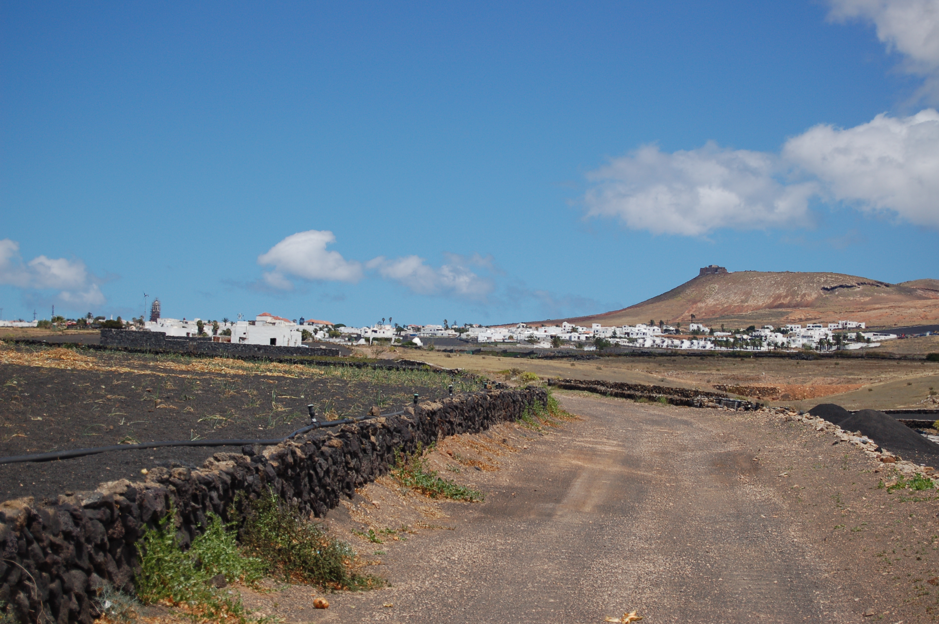
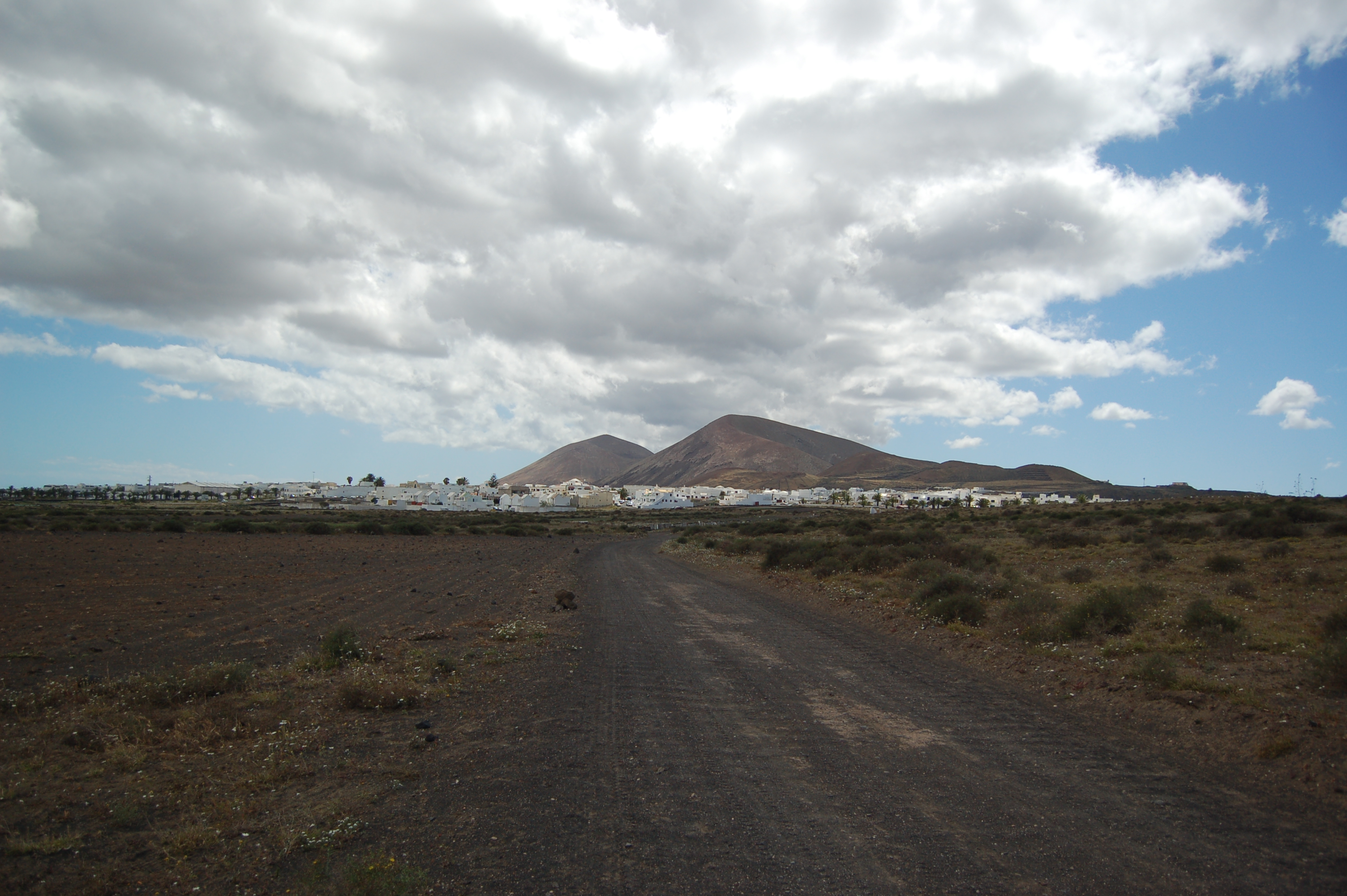
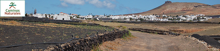
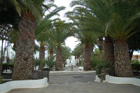
A gentle and short stage is inaugurated by walking through the streets of Teguise. Leave this town behind among crops cultivated with the lapilli sanding technique, making for a distinct landscape. The plains of El Jable welcome the traveller with their crops on organic sandbanks. Shortly after, the trail reaches San Bartolomé, a town located at the heart of Lanzarote island and the Órzola-Playa Blanca Nature Trail.
The third stage is the shortest in the Órzola-Playa Blanca Nature Trail, and joins the towns of Teguise and San Bartolomé. This stage begins opposite the convent of Santo Domingo. The trail goes down Guadalupe Street, turning right along Guatatiboa Street, then taking Siempreviva Street, also on your right. Turn right onto a wide dirt path (Crisantemo Street) a few metres after kilometre 25, leaving behind both both the pavement and the houses of Teguise.
Walking among crop fields, turn left down a paved road stretch, and right onto a wide dirt path at kilometre 26. Move away from Teguise among crop fields, the trail narrowing down near some small farming and cattle buildings.
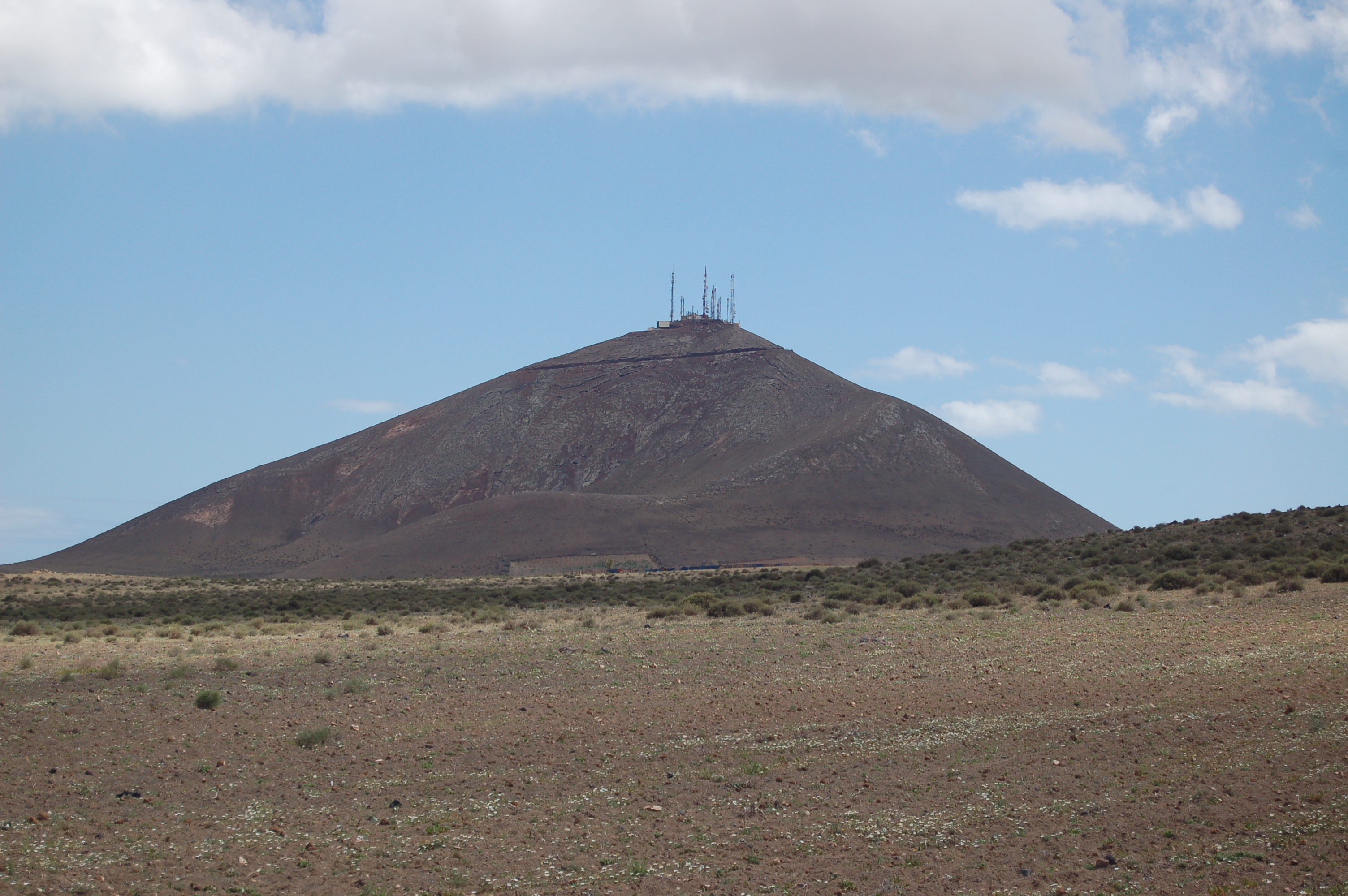
Shortly after kilometre 28, the trail flattens out and turns again into a wide dirt path, Monte Mina getting closer as the traveller approaches the end of the stage.
A short paved stretch precedes the intersection with the LZ-408 road. Cross exercising great caution, and then you will go slightly uphill along a wide dirt path. Just a few metres away from kilometre number 30, you will go deeper into the plains of El Jable, now enjoying this valuable ecosystem and ingenious cropping system.
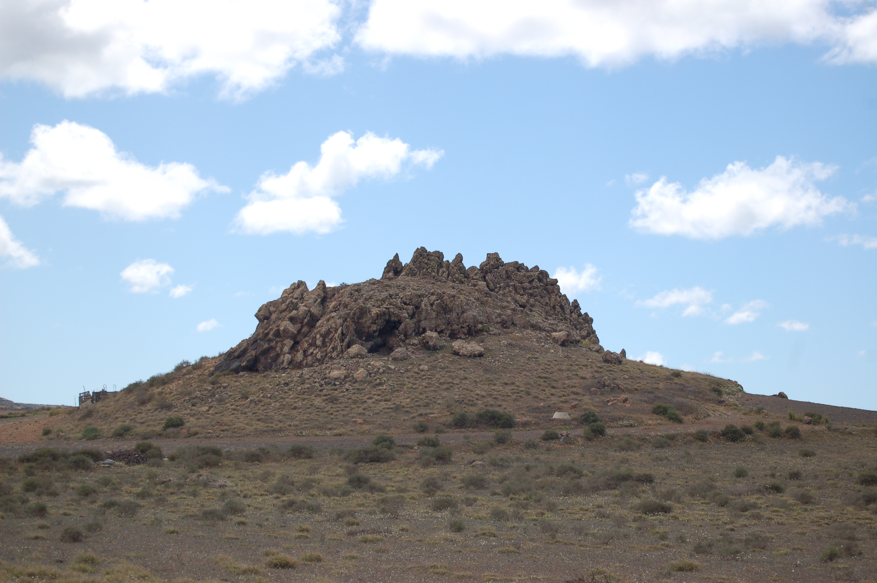
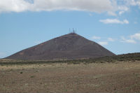
Past a steeper slope and kilometre 32, a volcanic intrusion of high geomorphological interest will stand on your right. Continue along a flat path with the occasional downhill stretch. You are now approaching the town of San Bartolomé, and will get into it once past kilometre 33.
Go into town via Juan de Bethencourt Street, taking a left turn down LZ-20 road, and then a right turn onto Rubicón Street a few metres down the road. Continue down Rubicón Street all the way to the interpretative panel that signals the end of the stage in the Square of León y Castillo.
Sites of interest
Profile
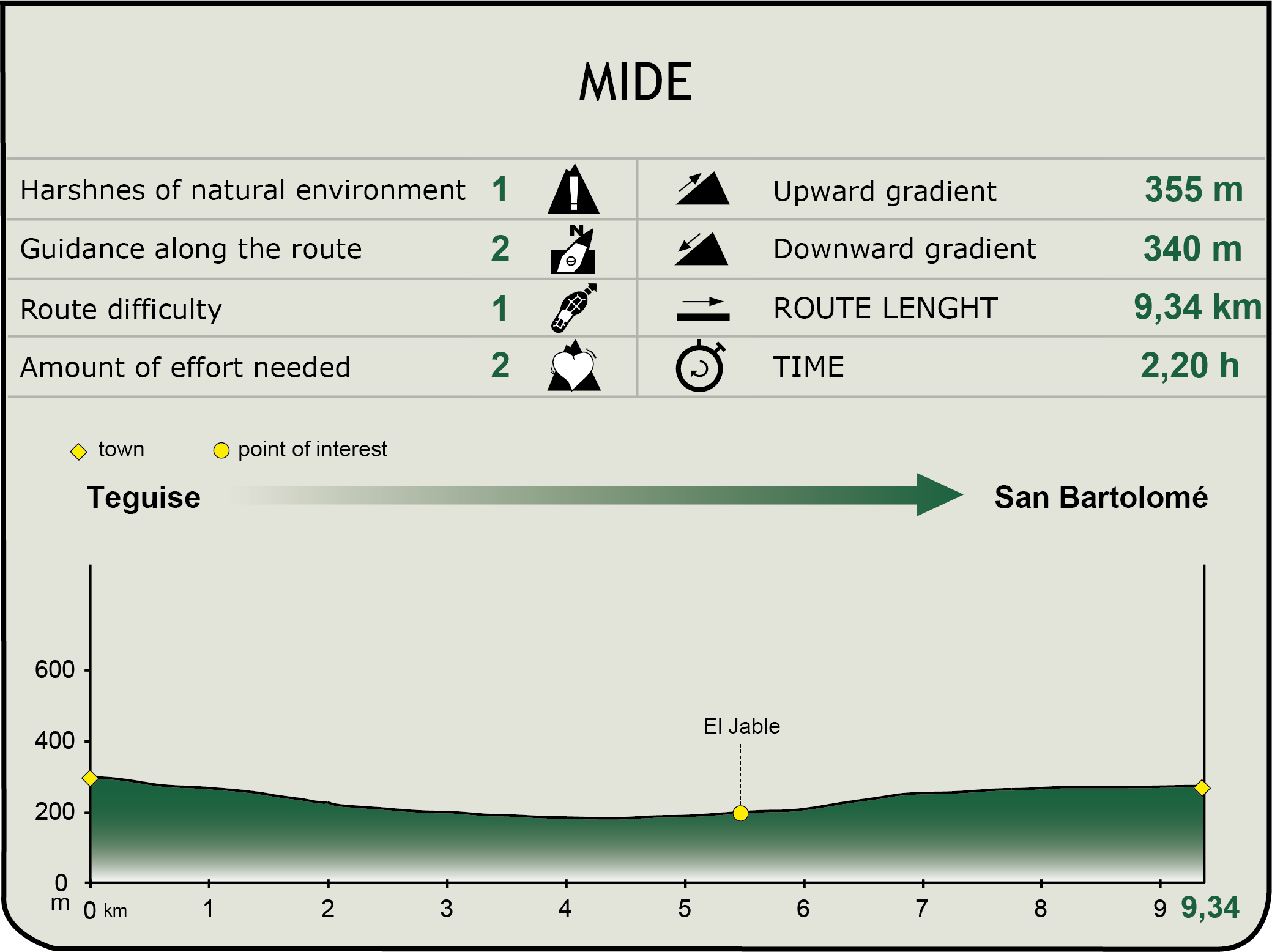
MIDE (Method for the Information of Excursions)
 Harshness of natural environment
- 1. The environment is not risk-free
- 2. There are more than one risk factors
- 3. There are various risk factors
- 4. There are quite a lot of risk factors
- 5. There are many risk factors
 Guidance along the route
- 1. Well defined trails and crossings
- 2. There is a clearly marked trail and signage
- 3. Requires the identification of geographic features and cardinal points
- 4. Requires off-path navigation
- 5. The trail is interrupted by obstacles that have to be gone around
 Route difficulty
- 1. Walking on a flat surface
- 2. Trails with different types of path
- 3. Walking on stepped paths or irregular terrain
- 4. The use of hands or jumping over the terrain is necessary
- 5. The use of hands is required to progress
 Amount of effort needed
- 1. Up to 1 hour of continuous walking
- 2. Between 1 and 3 hours of continuous walking
- 3. Between 3 and 6 hours of continuous walking
- 4. Between 6 and 10 hours of actual walking
- 5. More than 10 hours of continuous walking
Featured
Further information
Plains of El Jable
This extensive sandbank is made up of organogenic marine sand from decomposed shells and carapaces. The trade winds create this landscape by transporting this type of sand from La Caleta de Famara to the central and southeast areas of the island. Its name, Jable, comes from a local word that means marine sand. While several products are cultivated in these plains, the sweet potato (‘batata’ in Spanish) deserves a word of mention, since the inhabitants of San Bartolomé are called ‘Batateros’ for this reason. Vegetal barriers or bardos made out of different plants, such as wheat and rye, are installed to protect the crops against the wind.
San Bartolomé
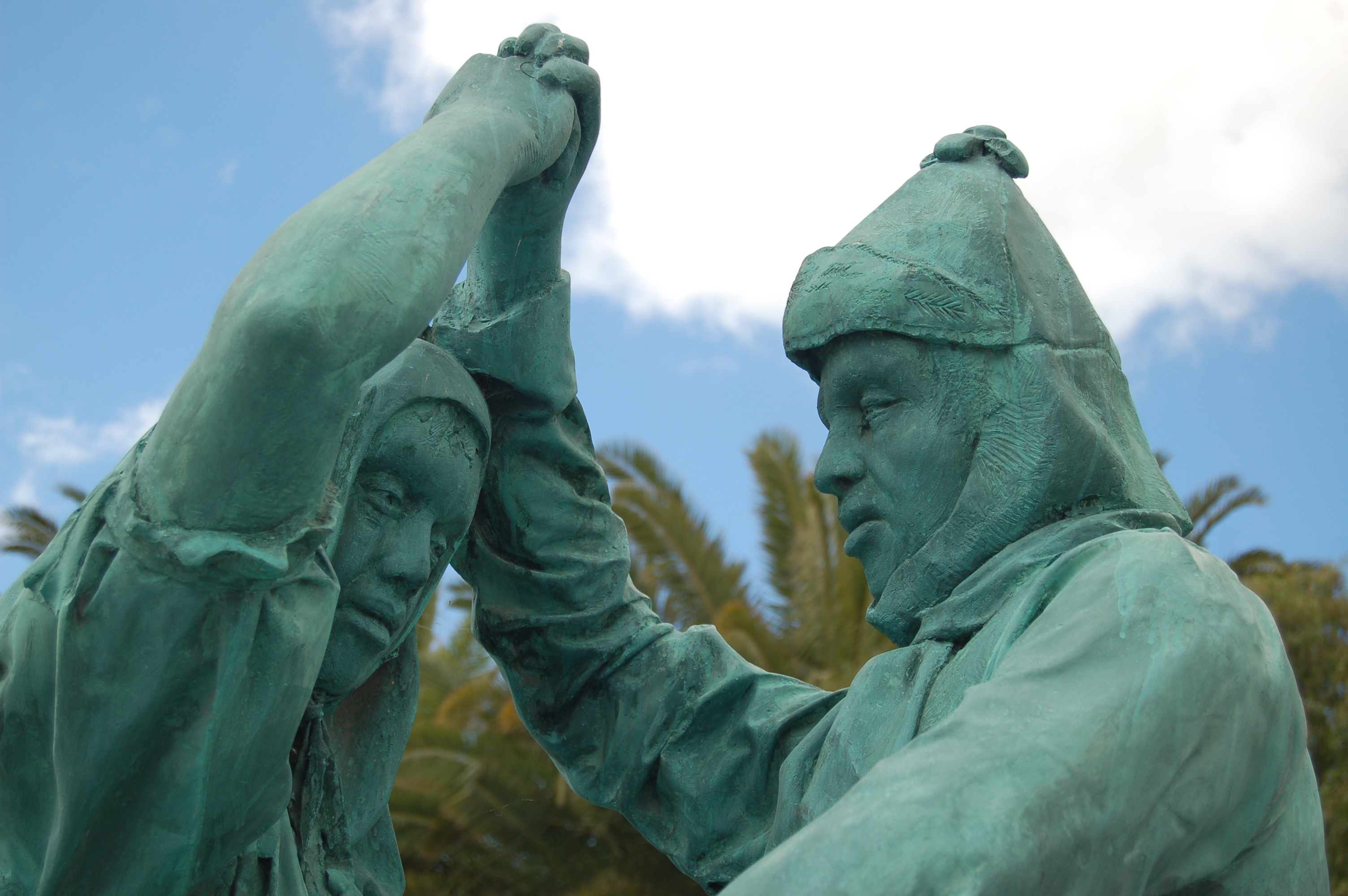
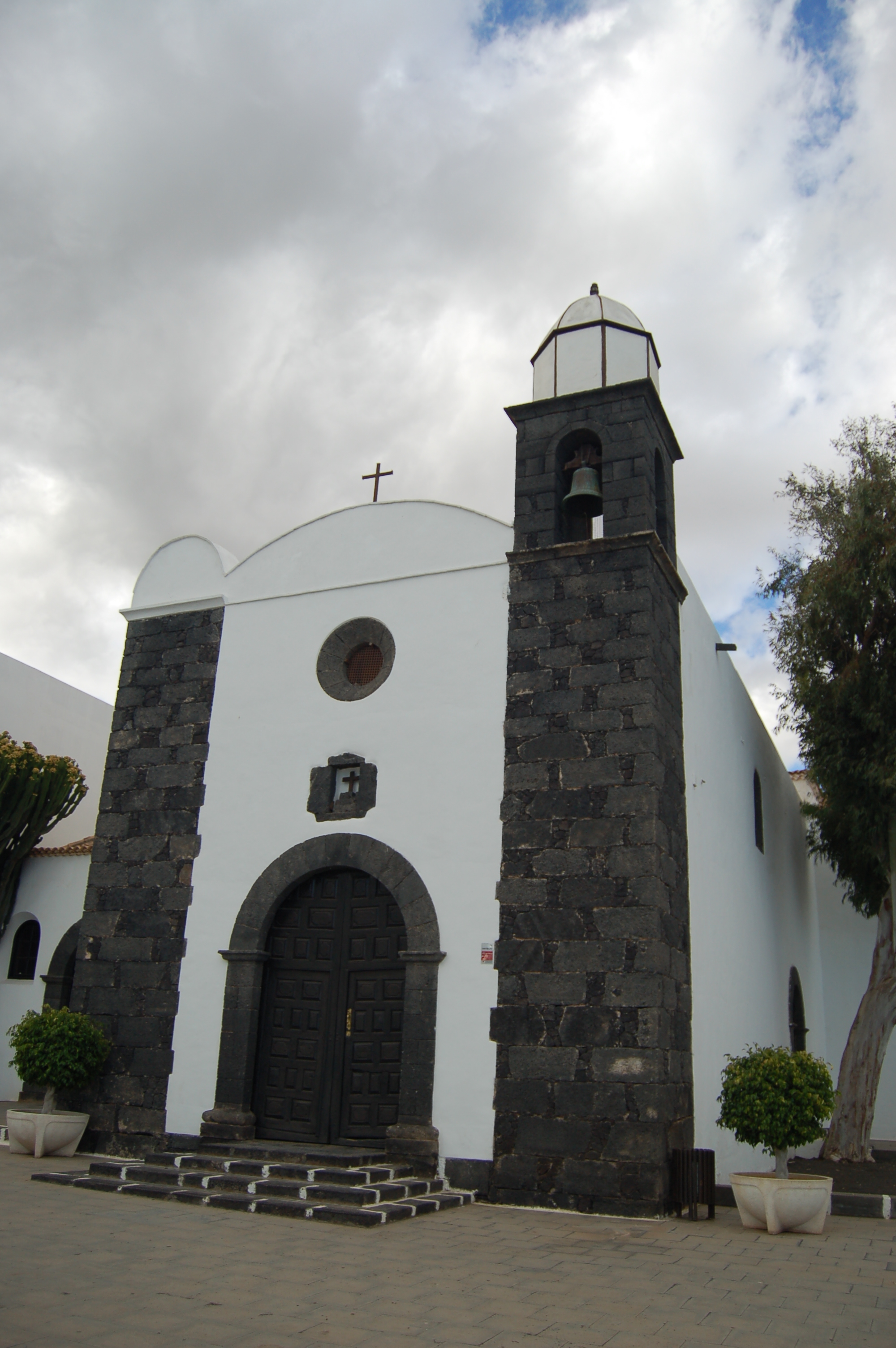
This Lanzarote municipality is located in the central part of the island, and has archaeological sites that attest to its pre-Hispanic existence. After the conquest, the municipality began to grow thanks to its relatively intense farming activity particularly sweet potatoes in El Jable and wine in La Geria. Its rich and diverse architectural heritage is found mainly in the León y Castillo Square, the church of San Bartolomé, the theatre and the city council. Also of note are the house and mill of Don Juan Armas Perdomo, the house of Don Sebastián Martín Perdomo and that of Mayor Guerra in the Southwest of the town centre.
Multimedia