- Home
- Rural Development
- Nature Trails
- Nature Trails
- Canary Islands Sector
- Costas_Gomera
Stage 2: Hermigua - Playa de Vallehermoso
Description
From Hermigua to Vallehermoso Beach, passing by Agulo and Las Rosas among terraces, heathers and Canary Phoenician junipers.
This second stage begins close to Hermigua Beach. After going through an agricultural landscape where terraces prevail, we first reach the houses of Lepe and then the urban area of Agulo. Then, we go up until near the Travesía peak (788 m). Farther on, the Visitor Centre in Garajonay’s Natural Park is reached, in the area known as Juego de Bolas. The village of Las Rosas and the namesake reservoir begin the vegetal transition bringing the traveller closer to the final destination, Vallehermoso Beach, with large Canary Phoenician juniper areas accompanying the hiker.
The stage begins in Hermigua, more specifically in the neighbourhood of Santa Catalina. At the feet of the information panel that links this stage and the first one, we must take calle de Lepe by turning left at Hermigua Beach. This road with no pavement must be walked with caution until reaching the Lepe houses square. After going down a staircase, the houses are left behind and the traveller walks into a terrace area, whose presence still dominates the landscape after crossing the stream on Lepe’s Gully.
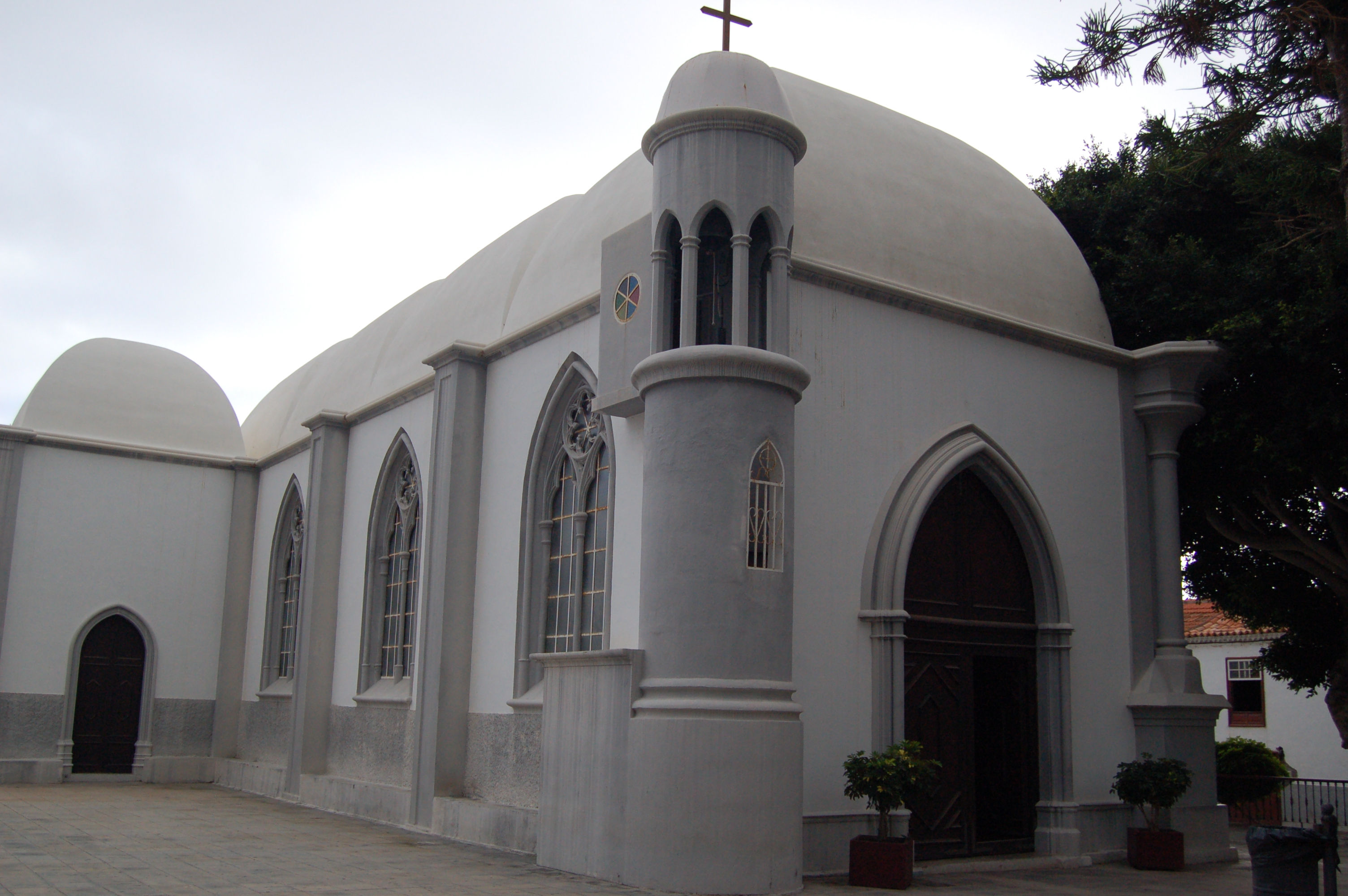
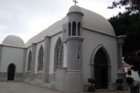
The traveller, now on the paved road, continues the ascent by turning left at the next intersection. When reaching kilometre 29, the trail turns right through calle del Pintor Aguiar, going into the town of Agulo. There the traveller can enjoy its cobbled streets, its council and its beautiful church with characteristic domes and pointed arches.
After leaving Leoncio Bento Square, where the church and the council are, the trail continues through calle Pedro Bethencourt, turning left along calle Calvario, leaving the town behind for good.
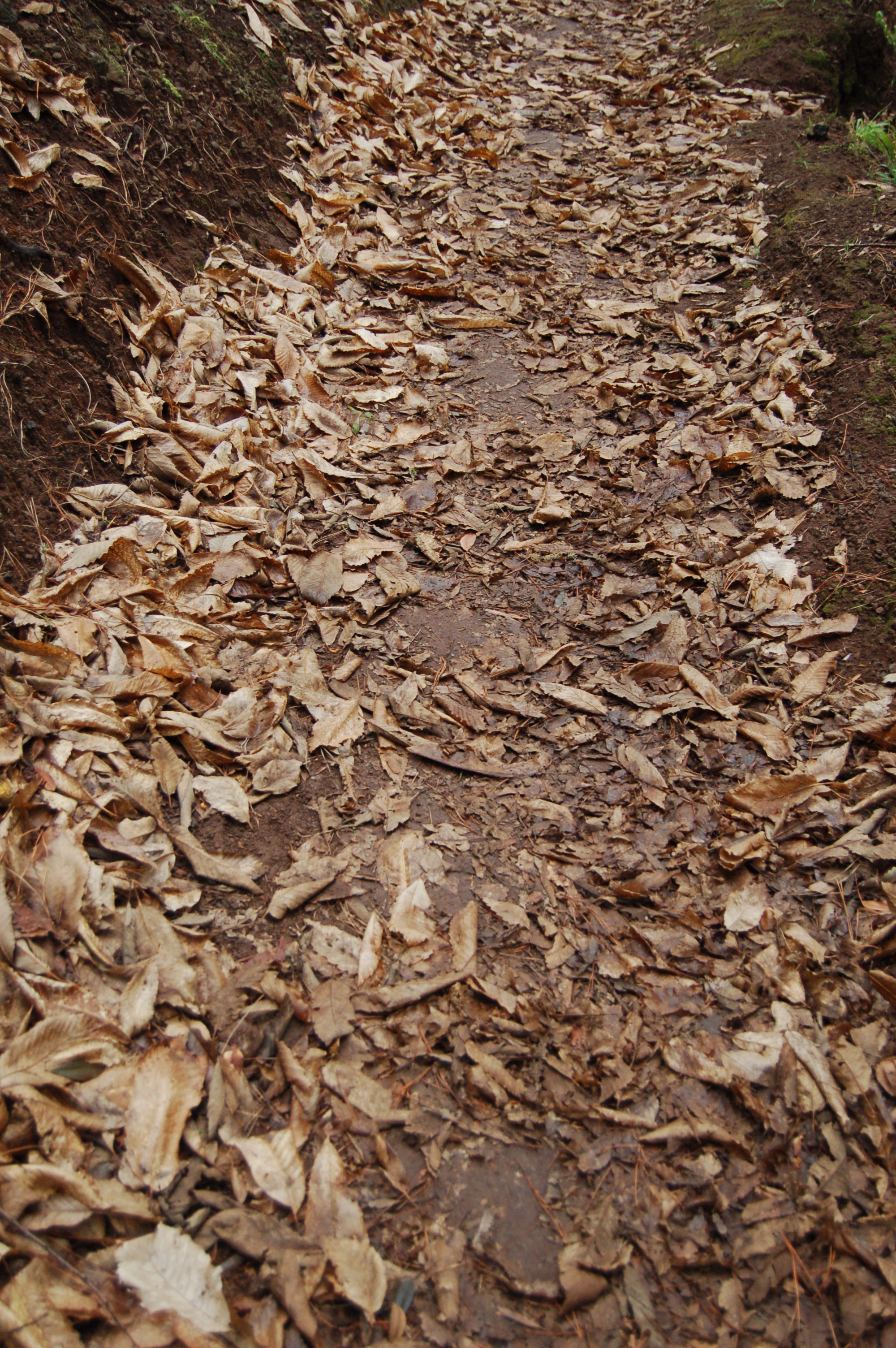
After passing the municipal cemetery, the traveller must take the wide dirt track to the left, starting the ascent. Then, road GM-1 must be crossed taking great care, and then the ascent continues through the dirt track. The traveller will find a small wooden footbridge near kilometre 31.
After passing near an old country house, the trail reaches a well-signalled itinerary intersection. The ascent increases its slope, snaking its way up the mountainside among Canary Island pines and heathers, crowning the ascent soon after kilometre 32.
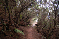
The trail continues now among stands of laurel and heathers, until reaching the spot known as Juego de Bolas, where the Visitor Centre of Garajonay’s Natural Park can be found. After a possible visit to this spot, a stretch shared with Laguna Grande’s road begins, so the traveller must take great caution in this stretch.
At kilometre 34, the dirt track to the right is taken, going through a paved road and then among a stand of chestnut trees (Castanea sativa). A small ascent immerses the hiker into a dense and beautiful heath that the trail, now descending, leaves behind little by little. The traveller hikes kilometre 35 through a road, turning left through a concrete staircase towards the reservoir of Las Rosas (or El Garabato), located near the namesake town.
The reservoir is crossed through the pavement built at its top. Immediately after, at the existing fork, the traveller must take the continuing road of this second stage to the right towards Vallehermoso Beach; if the hiker prefers to go directly to the urban area of Vallehermoso, he must take the left branch in said fork, which is the start of an alternative stage belonging to this same Shores of La Gomera Nature Trail (stage 3.1). It goes from Las Rosas until Los Chorros de Epina, where it is linked again to the main itinerary, now in its third stage (Vallehermoso Beach – Alojera).
By continuing through stage 2, the hiker ascends through a paved road and soon after takes a narrow track to the left which descends among vegetable gardens, until crossing road GM-1. Later, a paved path known as calle Simancas is crossed, and after a stretch through that path the former track is taken and followed again.
The itinerary goes through the town of Tamargada, taking a detour to the left through a dirt track that soon becomes a narrow path. In the middle of a Canary Island palm stand (Phoenix canariensis) a well-signalled route intersection is found. Continuing through the Nature Trail we can see a landscape where abandoned terraces prevail, where natural windows open up occasionally, through which the Roque Cano rises dominantly.
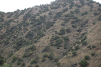
Moving forward through the descending slope, the hermitage of Tamargada is reached and, after some metres of pavement, the trail becomes a narrow path again. It turns left through a very wide dirt track reaching kilometre 40 among plenty of Canary Phoenician Junipers (Juniperus phoenicea var. canariensis) spread throughout the mountainsides.
Next, a narrow path is taken; starting a strong ascent towards Lomo de la Culata which, twisting and turning, ends at kilometre 41. The traveller starts descending winding through the mountainside filled by Canary Phoenician Junipers, already sighting Vallehermoso Beach.
After finishing the descent, the traveller leaves the hermitage to the left and goes towards Vallehermoso Beach, contemplating in the background the remains of the crane boom which in the past produced great commercial activity.
Stage 2 of the Shores of La Gomera Nature Trail ends a few metres after leaving the beach, at the edge of the road that links it to the urban area of Vallehermoso (which can be reached from here by following the Peaks of La Gomera Nature Trail), exactly at kilometre 42, located next to an interpretation panel which links stages 2 and 3.
Profile
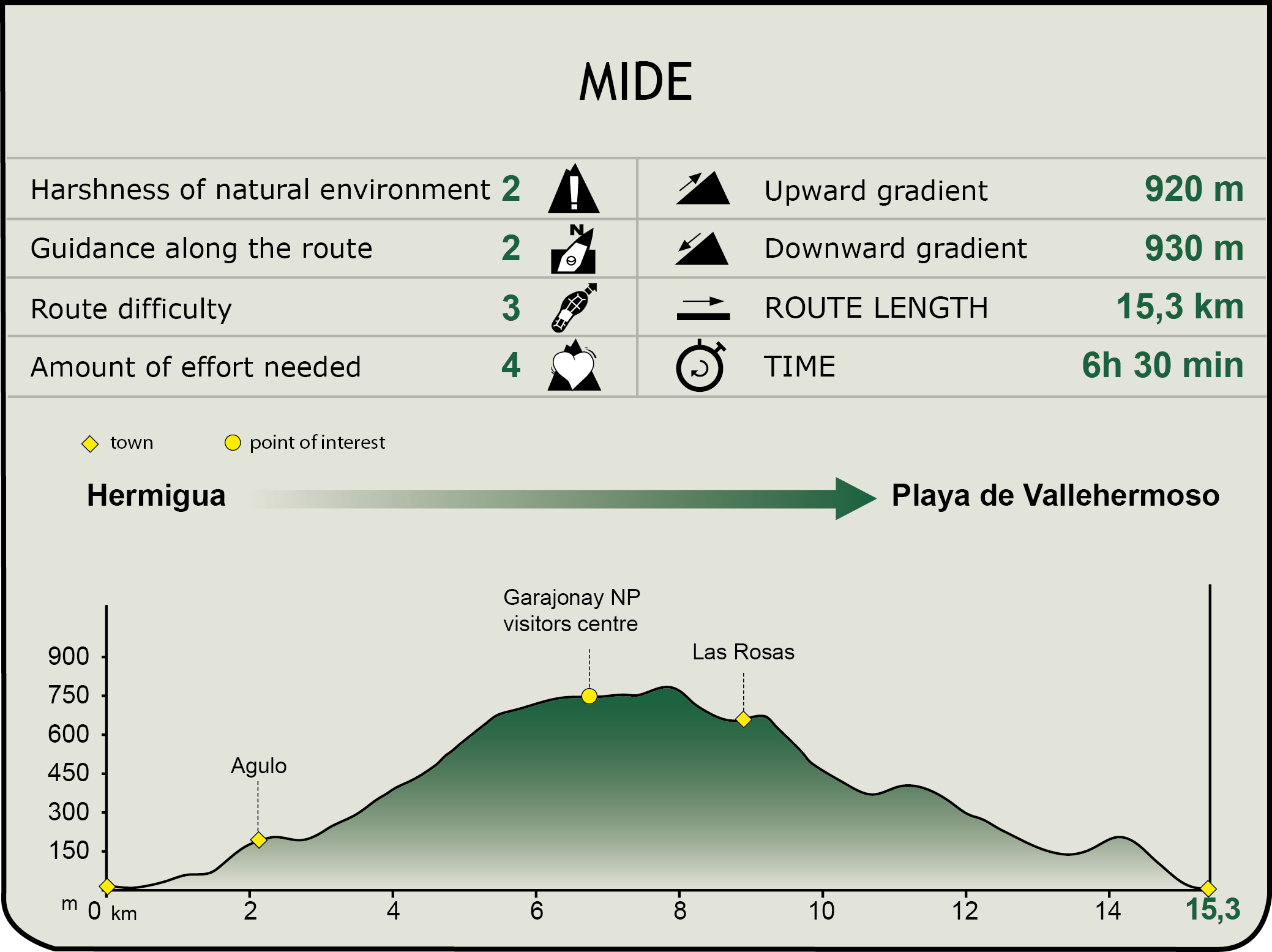
MIDE (Method for the Information of Excursions)
 Harshness of natural environment
- 1. The environment is not risk-free
- 2. There are more than one risk factors
- 3. There are various risk factors
- 4. There are quite a lot of risk factors
- 5. There are many risk factors
 Guidance along the route
- 1. Well defined trails and crossings
- 2. There is a clearly marked trail and signage
- 3. Requires the identification of geographic features and cardinal points
- 4. Requires off-path navigation
- 5. The trail is interrupted by obstacles that have to be gone around
 Route difficulty
- 1. Walking on a flat surface
- 2. Trails with different types of path
- 3. Walking on stepped paths or irregular terrain
- 4. The use of hands or jumping over the terrain is necessary
- 5. The use of hands is required to progress
 Amount of effort needed
- 1. Up to 1 hour of continuous walking
- 2. Between 1 and 3 hours of continuous walking
- 3. Between 3 and 6 hours of continuous walking
- 4. Between 6 and 10 hours of actual walking
- 5. More than 10 hours of continuous walking
Featured
Further information
Hermigua
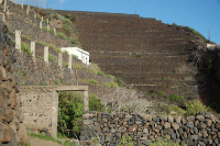
Town located in the namesake valley, in the north of La Gomera Island. Together with Agulo, it constituted the pre-Hispanic territory known as Mulagua. It is an area of green terraces, covered by banana trees. 21 km from San Sebastián de La Gomera, it has a population around 2,200 inhabitants. With an average altitude of 210 metres above sea level, it opens out onto the Atlantic Ocean with a coastal stretch of more than 8 kilometres.
Hermigua’s crane boom, located in an area known as El Peñón, is a worth visiting tourist attraction. This industrial architecture monument was built in 1907 to roll out the excellent agricultural production of Hermigua’s valley, when the island had poor transportation means, as it had no ports or roads. In the middle of the 20th century the crane boom’s activity started to decline as new transportation means and communication paths developed in the island.
As for culture, Hermigua offers some remarkable places of interest to the visitor: the church of Santo Domingo de Guzmán, which belongs to the old Dominican monastery of San Pedro, the church of Nuestra Señora de la Encarnación en el Valle Bajo, with the statue of the namesake Virgin, attributed to the sculptor from La Orotava Fernando Estévez (1788-1854), the hermitages of El Cedro and Los Aceviños and La Gomera’s Ethnographic Museum.
Multimedia